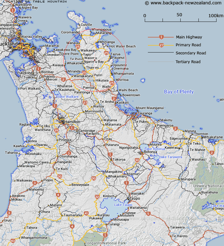
Map showing location of Table Mountain
LINZ description: A bold, flat topped, steep sided mountain in the upper Kauaerange River area about 3/4 of a square mile in area.
Latitude: -37.047522
Longitude: 175.662114
Northing: 5896541
Easting: 1836740.5
Land District: South Auckland
Feat Type: Hill
Latitude: -37.047522
Longitude: 175.662114
Northing: 5896541
Easting: 1836740.5
Land District: South Auckland
Feat Type: Hill

Scroll down to see a more detailed road map and below that a topographical map showing the location of Table Mountain. The road map has been supplied by openstreetmap and the topographical map of Table Mountain has been supplied by Land Information New Zealand (LINZ).
Yes you can use the top static map for you school/university project or personal website with a link back. Contact me for any commercial use.
[ A ] [ B ] [ C ] [ D ] [ E ] [ F ] [ G ] [ H ] [ I ] [ J ] [ K ] [ L ] [ M ] [ N ] [ O ] [ P ] [ Q ] [ R ] [ S ] [ T ] [ U ] [ V ] [ W ] [ X ] [ Y ] [ Z ]