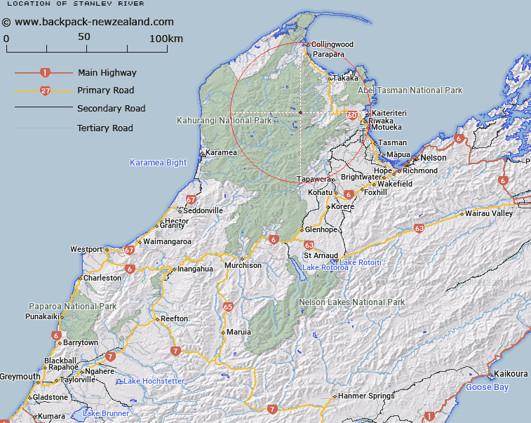
Map showing location of Stanley River


LINZ description: A stream flowing from Lake Stanley North of the Snowdon Range, until intersecting with the Waingaro River. Feature shown on: NZMS260 M26 Edition 1 1986; NZTopo50-BP24 680597-729563
Latitude: -41.029983
Longitude: 172.644098
Northing: 5457853.5
Easting: 1570081.7
Land District: Nelson
Feat Type: Stream


Scroll down to see a more detailed road map and below that a topographical map showing the location of Stanley River. The road map has been supplied by openstreetmap and the topographical map of Stanley River has been supplied by Land Information New Zealand (LINZ).

Yes you can use the top static map for you school/university project or personal website with a link back. Contact me for any commercial use.

Stanley River Map New Zealand


New Zealand places in our database
[ A ] [ B ] [ C ] [ D ] [ E ] [ F ] [ G ] [ H ] [ I ] [ J ] [ K ] [ L ] [ M ] [ N ] [ O ] [ P ] [ Q ] [ R ] [ S ] [ T ] [ U ] [ V ] [ W ] [ X ] [ Y ] [ Z ]


Closest 20 Streams to Stanley River

Lindsay Creek ( 2.72km )   Fuller Creek ( 5.4km )   Little Devil River ( 5.84km )   Ruby Creek ( 6.18km )   Diamond Lake Stream ( 6.36km )   Stanley River ( 6.53km )   Stanley River ( 6.89km )   Skeet Creek ( 6.99km )   Battey Creek ( 7.59km )   Devil River ( 7.78km )   Waingaro River ( 7.93km )   Sams Creek Middle Branch ( 8.76km )   Galena Creek ( 8.98km )   Magnesite Creek ( 9.13km )   Sylvester Creek ( 9.15km )   Sams Creek ( 10.13km )   Rheumatic Creek ( 10.4km )   Hannah Creek ( 10.4km )   Myttons Creek ( 10.72km )   Chaffey Stream ( 10.75km )   Burgoo Stream ( 10.86km )   Gabbro Creek ( 10.97km )   Barron Stream ( 11.12km )   Cobb River ( 11.44km )   Asbestos Creek ( 11.47km )   Thorns Creek ( 11.49km )   Snelling Creek ( 11.72km )   Camp Creek ( 11.83km )   Kill Devil Creek ( 12.03km )   Bastite Creek ( 12.12km )   Paradise Creek ( 12.16km )   Trilobite Creek ( 12.24km )   Bullock Creek ( 12.36km )   Sam Creek ( 12.54km )   Peat Creek ( 12.94km )   Waitui Stream ( 13km )   Heath Creek ( 13.15km )   Craigieburn Creek ( 13.67km )   Alph Stream ( 13.69km )   Deep Creek ( 14.16km )