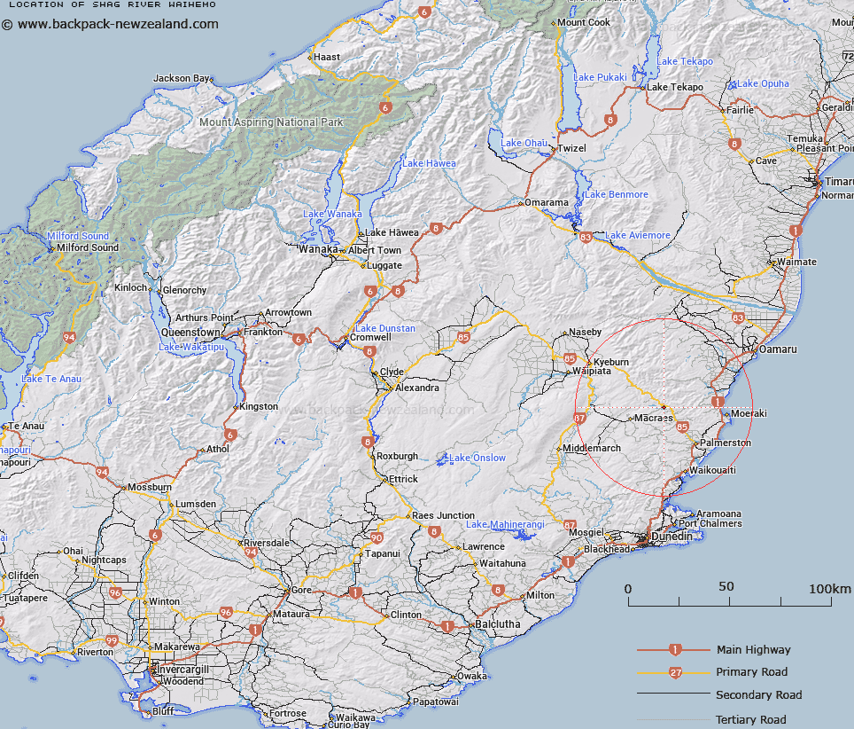
Map showing location of Shag River (Waihemo)


LINZ description: River flowing from Kakanui Range into the sea at Shag Point, east of Palmerston. Feature shown on Infomap 346-02 Te Wai Pounamu Edition 1 1995
Latitude: -45.332856
Longitude: 170.574666
Northing: 4977210.9
Easting: 1409957.2
Land District: Otago
Feat Type: Stream


Scroll down to see a more detailed road map and below that a topographical map showing the location of Shag River (Waihemo). The road map has been supplied by openstreetmap and the topographical map of Shag River (Waihemo) has been supplied by Land Information New Zealand (LINZ).

Yes you can use the top static map for you school/university project or personal website with a link back. Contact me for any commercial use.

Shag River (Waihemo) Map New Zealand


New Zealand places in our database
[ A ] [ B ] [ C ] [ D ] [ E ] [ F ] [ G ] [ H ] [ I ] [ J ] [ K ] [ L ] [ M ] [ N ] [ O ] [ P ] [ Q ] [ R ] [ S ] [ T ] [ U ] [ V ] [ W ] [ X ] [ Y ] [ Z ]


Closest 20 Streams to Shag River (Waihemo)

Hellene Creek ( 3.37km )   Happy Valley Creek ( 3.49km )   Cranky Jims Creek ( 5.35km )   Tipperary Creek ( 7.66km )   McCormicks Creek ( 7.95km )   Green Valley Creek ( 8.01km )   Deepdell Creek ( 8.22km )   Coal Creek ( 10.05km )   Waianakarua River Middle Branch ( 10.54km )   Bushy Creek ( 10.57km )   Murphys Creek ( 11.06km )   Highlay Creek ( 11.18km )   Jimmys Creek ( 11.35km )   Waianakarua River South Branch ( 11.81km )   Shepherds Creek ( 13.38km )   Huntley Creek ( 13.43km )   Shingly Creek ( 13.81km )   Maori Hen Creek ( 15.17km )   Kurinui Creek ( 15.25km )   Pigeon Creek ( 15.45km )   Waddells Creek ( 15.48km )   North Branch Waikouaiti River ( 16.13km )   Kuriiti Creek ( 16.34km )   Hoods Creek ( 16.69km )   Waianakarua River North Branch ( 17.37km )   Coal Creek ( 17.44km )   Island Stream South Branch ( 17.48km )   Pleasant River ( 17.55km )   Moirs Creek ( 17.6km )   Baghdad Creek ( 17.63km )   Siberia Creek ( 18.17km )   Back Creek ( 18.34km )   Ngutukaka Creek ( 18.59km )   Wild Dog Creek ( 18.66km )   Island Stream North Branch ( 18.73km )   Mare Burn ( 19.07km )   Hughie Stream ( 19.17km )   Pigroot Creek ( 19.44km )   Back Creek ( 19.52km )   Waiwherowhero Creek ( 19.75km )