Map showing location of Shag Point/Matakaea


LINZ description: Feature shown on: NZMS260-J43 404238; NZTopo50-CD18 305620;
Latitude: -45.474364
Longitude: 170.831457
Northing: 4962064.2
Easting: 1430502.5
Land District: Otago
Feat Type: Point


Scroll down to see a more detailed road map and below that a topographical map showing the location of Shag Point/Matakaea. The road map has been supplied by openstreetmap and the topographical map of Shag Point/Matakaea has been supplied by Land Information New Zealand (LINZ).

Yes you can use the top static map for you school/university project or personal website with a link back. Contact me for any commercial use.
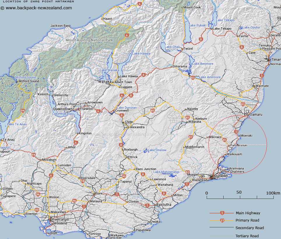
Shag Point/Matakaea Map New Zealand


New Zealand places in our database
[ A ] [ B ] [ C ] [ D ] [ E ] [ F ] [ G ] [ H ] [ I ] [ J ] [ K ] [ L ] [ M ] [ N ] [ O ] [ P ] [ Q ] [ R ] [ S ] [ T ] [ U ] [ V ] [ W ] [ X ] [ Y ] [ Z ]


Closest 20 Points to Shag Point/Matakaea

Bobbys Head ( 8.04km )   Katiki Point ( 9.01km )   Okahau Point ( 10.79km )   Matiaha Head ( 11.27km )   Tawhiroko Point ( 11.79km )   Tikoraki Point ( 12.21km )   Punatoetoe Head ( 13.22km )   Moeraki Point ( 13.34km )   Cornish Head ( 19.23km )   Green Point ( 25.4km )   Brinns Point ( 25.9km )   Bridge Point ( 28.38km )   Orore Point ( 29.13km )   Kakanui Point ( 31.67km )   Potato Point ( 33.04km )   Heyward Point ( 33.21km )   Purehurehu Point ( 33.73km )   Taiaroa Head ( 34.15km )   Pilot Point ( 34.35km )   Doctors Point ( 34.36km )   Harington Point ( 35.36km )   Harrington Point ( 35.36km )   Rerewahine Point ( 35.42km )   Te Pari o Te Mataahua ( 36.14km )   O te Ukuuku Tuku ( 36.69km )   Otafelo Point ( 36.71km )   Pipikaretu Point ( 37.08km )   Taylor Point ( 37.25km )   Tayler Point ( 37.25km )   Pulling Point ( 38.13km )   Te Whakarekaiwi ( 38.41km )   Acheron Point ( 38.73km )   Rocky Point ( 39.94km )   Goldie Point ( 40.18km )   Cape Wanbrow ( 40.91km )   Quarantine Point ( 41.56km )   Titikoraki ( 41.83km )   Ohinepuha ( 42.89km )   Kilgours Point ( 43.48km )   Yellow Head ( 44.2km )