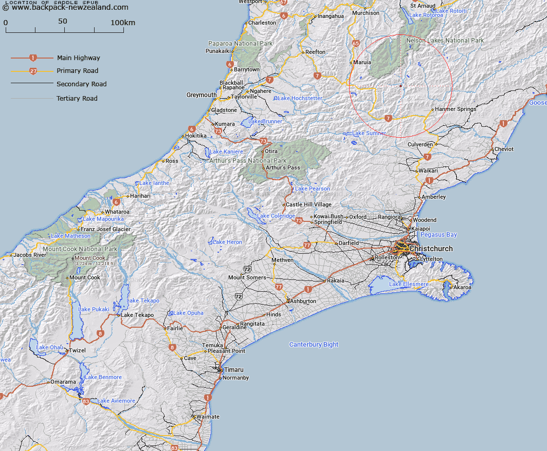
Map showing location of Saddle Spur


LINZ description: Small spur forming the north watershed of Saddle Stream.
Latitude: -42.356828
Longitude: 172.592896
Northing: 5310524
Easting: 1566473.6
Land District: Canterbury
Feat Type: Ridge


Scroll down to see a more detailed road map and below that a topographical map showing the location of Saddle Spur. The road map has been supplied by openstreetmap and the topographical map of Saddle Spur has been supplied by Land Information New Zealand (LINZ).

Yes you can use the top static map for you school/university project or personal website with a link back. Contact me for any commercial use.

Saddle Spur Map New Zealand


New Zealand places in our database
[ A ] [ B ] [ C ] [ D ] [ E ] [ F ] [ G ] [ H ] [ I ] [ J ] [ K ] [ L ] [ M ] [ N ] [ O ] [ P ] [ Q ] [ R ] [ S ] [ T ] [ U ] [ V ] [ W ] [ X ] [ Y ] [ Z ]


Closest 20 Ridges to Saddle Spur

Saddle Spur ( 0km )   Long Spur ( 11.64km )   Pass Spur ( 13.1km )   The Battery ( 14.07km )   Fandang Spur ( 15km )   Razorback ( 15.97km )   The Burnt Spur ( 17.04km )   Cardigan Ridge ( 19.55km )   Paget Ridge ( 22.07km )   The Horse Spur ( 24.24km )   Sebastopol Ridge ( 25.99km )   Inkerman Ridge ( 27.98km )   Ship Spur ( 29.65km )   Balaclava Ridge ( 30.39km )   Turk Ridge ( 34.04km )   Franklin Ridge ( 34.5km )   Stafford Ridge ( 40.86km )   Three Sisters ( 44.35km )   The Fingerpost ( 45.43km )   Fifteen Mile Spur ( 45.77km )   Snowgrass Spur ( 47.12km )   Saw Spur ( 49.74km )   Angelus Ridge ( 50.99km )   Mangerton Ridge ( 51.06km )   Conway Spur ( 53.33km )   Dog Hill ( 54.06km )   Whales Back ( 54.08km )   Woolshed Ridge ( 56.4km )   Robert Ridge ( 56.96km )   Christie Ridge ( 58.12km )   Prospect Ridge ( 58.83km )   Mount Horrible Spur ( 59.88km )   Clay Spurs ( 62.64km )   Big Benledi ( 63.44km )   The Sisters Ridge ( 64.42km )   Cattle Spur ( 66.56km )   Driving Spur ( 68.33km )   Rough Spur ( 68.9km )   Deepdale Ridge ( 69.2km )   Saint Bernard Spur ( 69.76km )