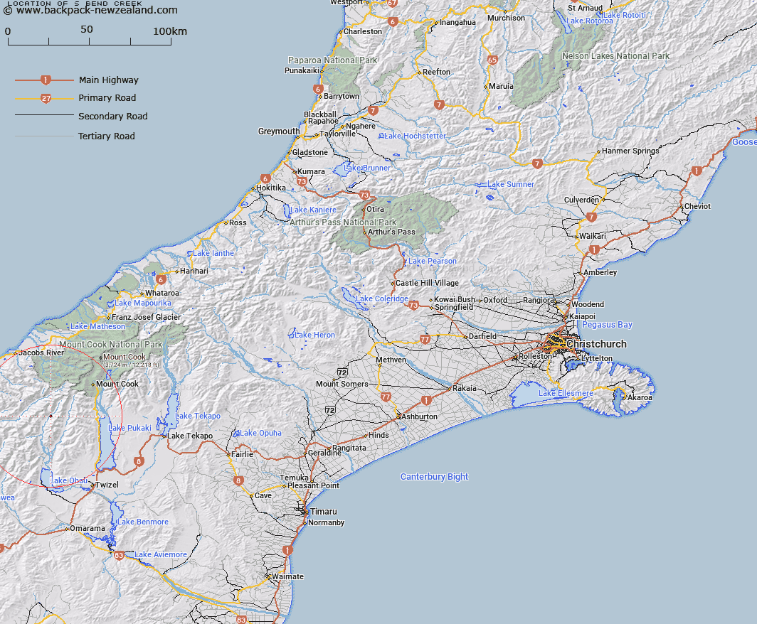
Map showing location of S Bend Creek


LINZ description: A tributary of the Hopkins River, the stream headwaters are near an unnamed peak of 2252m north of Armistice Peak.
Latitude: -43.897305
Longitude: 169.873896
Northing: 5134781.7
Easting: 1348930.5
Land District: Canterbury
Feat Type: Stream


Scroll down to see a more detailed road map and below that a topographical map showing the location of S Bend Creek. The road map has been supplied by openstreetmap and the topographical map of S Bend Creek has been supplied by Land Information New Zealand (LINZ).

Yes you can use the top static map for you school/university project or personal website with a link back. Contact me for any commercial use.

S Bend Creek Map New Zealand


New Zealand places in our database
[ A ] [ B ] [ C ] [ D ] [ E ] [ F ] [ G ] [ H ] [ I ] [ J ] [ K ] [ L ] [ M ] [ N ] [ O ] [ P ] [ Q ] [ R ] [ S ] [ T ] [ U ] [ V ] [ W ] [ X ] [ Y ] [ Z ]


Closest 20 Streams to S Bend Creek

Dodger Stream ( 1.28km )   Thomson Stream ( 3.52km )   North Elcho Stream ( 4.78km )   Elcho Stream ( 4.85km )   Watson Stream ( 5.94km )   Ward Creek ( 7.41km )   Sutherland Stream ( 7.47km )   South Elcho Stream ( 7.7km )   Thar Creek ( 7.74km )   Dobson River ( 8.56km )   Browning Creek ( 8.85km )   Baker Creek ( 8.88km )   McKerrow Creek ( 8.99km )   Kea Stream ( 9.72km )   Stewart Stream ( 9.87km )   Percy Creek ( 9.91km )   Jackson Creek ( 10.19km )   Sapling Creek ( 10.24km )   Williams Creek ( 10.35km )   Hopkins River ( 10.7km )   Landsborough River ( 10.85km )   Humphries Creek ( 10.89km )   Dobson Creek ( 10.92km )   Barron Creek ( 11.02km )   Paradise Creek ( 11.22km )   Ross Stream ( 11.29km )   Camp Stream ( 11.5km )   Dechen Creek ( 11.65km )   Arthur Creek ( 11.77km )   Fraser Creek ( 12.26km )   Pass Creek ( 12.53km )   Struggle Creek ( 12.96km )   Scramble Stream ( 13.27km )   Broom Brook ( 13.41km )   Spur Creek ( 13.42km )   Back Bush Stream ( 13.77km )   Eager Creek ( 13.94km )   Jamieson Stream ( 14.11km )   Huxley River North Branch ( 14.21km )   Huxley River ( 14.47km )