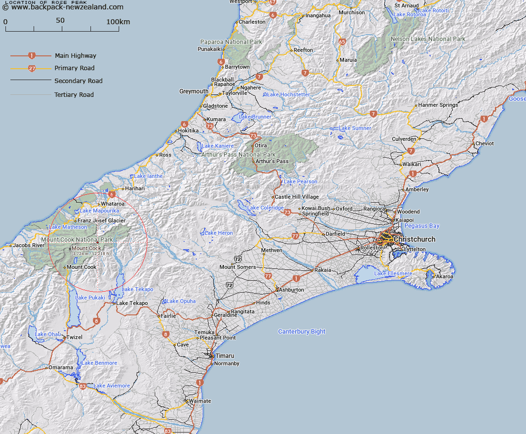
Map showing location of Rose Peak


LINZ description: Peak in the Brun Range of the Southern Alps/Kā Tiritiri o te Moana on the spur from Haeckel Peak between Dixon and Mannering Glaciers.
Latitude: -43.54645
Longitude: 170.354668
Northing: 5175100
Easting: 1386300
Land District: Canterbury
Feat Type: Hill


Scroll down to see a more detailed road map and below that a topographical map showing the location of Rose Peak. The road map has been supplied by openstreetmap and the topographical map of Rose Peak has been supplied by Land Information New Zealand (LINZ).

Yes you can use the top static map for you school/university project or personal website with a link back. Contact me for any commercial use.

Rose Peak Map New Zealand


New Zealand places in our database
[ A ] [ B ] [ C ] [ D ] [ E ] [ F ] [ G ] [ H ] [ I ] [ J ] [ K ] [ L ] [ M ] [ N ] [ O ] [ P ] [ Q ] [ R ] [ S ] [ T ] [ U ] [ V ] [ W ] [ X ] [ Y ] [ Z ]


Closest 20 Hills to Rose Peak

Haeckel Peak ( 1.03km )   Mount Hamilton ( 2.23km )   Mount Annan ( 2.24km )   Mount Darwin ( 2.48km )   Mount Abel ( 2.83km )   Mount Cooper ( 3.7km )   Frind Peak ( 4.05km )   Malte Brun ( 4.39km )   Rumdoodle ( 4.39km )   Mount Aylmer ( 4.4km )   Mount Turnbull ( 4.42km )   Graceful Peak ( 5.02km )   Hochstetter Dom ( 5.11km )   Hochstetter Dome ( 5.11km )   Mount Conrad ( 5.44km )   Coopers Mate ( 5.51km )   Mount Olaf ( 5.53km )   Mount Kenneth ( 5.84km )   Aiguilles Rouges ( 6.13km )   Brodrick Peak ( 6.24km )   Mount Ronald Adair ( 6.27km )   Mount Richmond ( 6.47km )   The Ant-hill ( 6.58km )   Mount Green ( 6.69km )   Coronet ( 6.75km )   Mount Walter ( 6.78km )   Mount Nathan ( 6.99km )   Mount Phyllis ( 7.03km )   Mount Meeson ( 7.09km )   Mount Hutton ( 7.09km )   Vic Mountain ( 7.24km )   Mount Goldsmith ( 7.41km )   Mount Gold Smith ( 7.41km )   Mount Elie De Beaumont ( 7.51km )   Mount Chudleigh ( 7.63km )   Mount Sydney King ( 7.76km )   Mount Sidney King ( 7.76km )   Mount Acland ( 7.84km )   Minarets ( 7.86km )   Mount Mannering ( 8.03km )