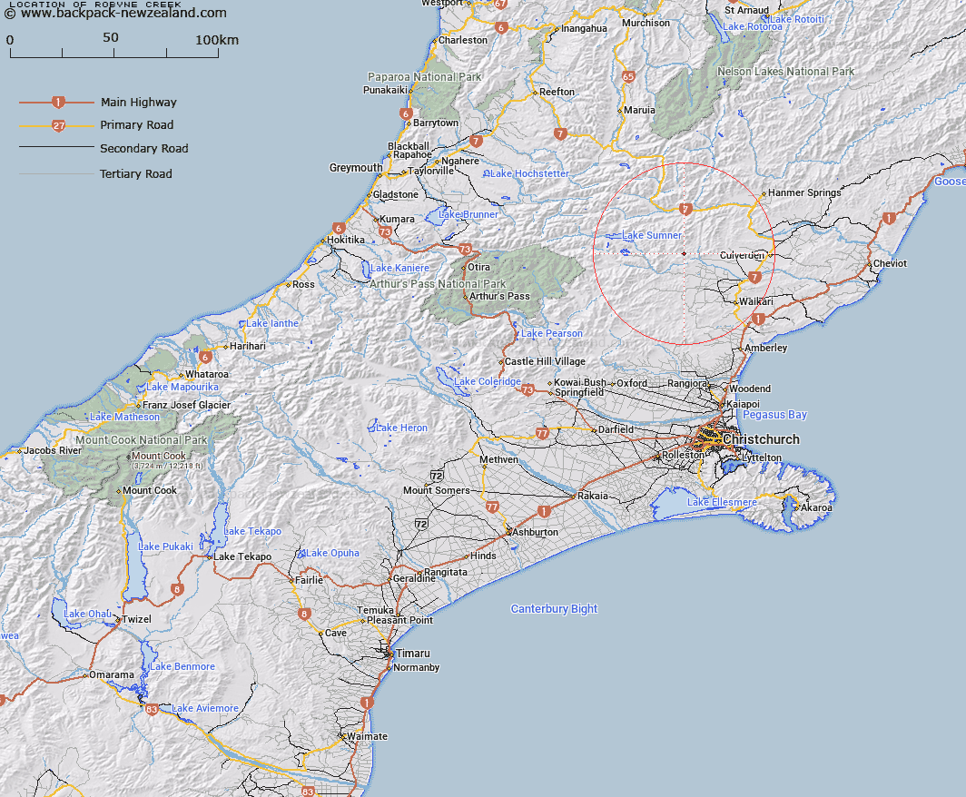
Map showing location of Robyne Creek


LINZ description: Left bank tributary of Glenrae River, draining the north-west slopes of "The Roderick" Peak, and the southern slopes of "Sunny Knob". Mytholm Survey District.
Latitude: -42.768075
Longitude: 172.491663
Northing: 5264814.3
Easting: 1558410.7
Land District: Canterbury
Feat Type: Stream


Scroll down to see a more detailed road map and below that a topographical map showing the location of Robyne Creek. The road map has been supplied by openstreetmap and the topographical map of Robyne Creek has been supplied by Land Information New Zealand (LINZ).

Yes you can use the top static map for you school/university project or personal website with a link back. Contact me for any commercial use.

Robyne Creek Map New Zealand


New Zealand places in our database
[ A ] [ B ] [ C ] [ D ] [ E ] [ F ] [ G ] [ H ] [ I ] [ J ] [ K ] [ L ] [ M ] [ N ] [ O ] [ P ] [ Q ] [ R ] [ S ] [ T ] [ U ] [ V ] [ W ] [ X ] [ Y ] [ Z ]


Closest 20 Streams to Robyne Creek

Dampier Stream ( 2.31km )   Coal Creek ( 3.4km )   Silver Brook ( 3.9km )   Silverton Stream ( 3.9km )   Home Brook ( 4.2km )   Saddle Brook ( 4.25km )   Blue Rock Stream ( 4.25km )   Pig Stream ( 4.41km )   Devils Creek ( 4.98km )   Shingle Stream ( 6.09km )   Spring Stream ( 6.13km )   Bush Creek ( 6.94km )   Glenrae River ( 6.96km )   Mulligan Stream ( 7.53km )   Red Creek ( 7.72km )   Stokes Stream ( 8.35km )   Jacks Stream ( 9.09km )   Glencoe River ( 9.26km )   Mandamus River ( 9.45km )   Waitohi River ( 10.12km )   The Forks ( 10.55km )   Organ Stream ( 10.67km )   Dozy Stream ( 10.77km )   Surveyors Stream ( 11.3km )   Dove River ( 11.45km )   Taruna Stream ( 12.29km )   Awatui Stream ( 13.08km )   Woodchopper Stream ( 13.79km )   Rough Stream ( 14.11km )   Jollie Brook ( 14.17km )   Cascade Stream ( 14.49km )   Big Bush Stream ( 14.56km )   Skiddaw Stream ( 14.62km )   Horseshoe Stream ( 14.65km )   Double End Stream ( 14.72km )   Nurse Stream ( 14.99km )   Washpen Stream ( 15.1km )   Kashmir Stream ( 15.38km )   Little Bush Stream ( 15.42km )   Melrose Stream ( 16.4km )