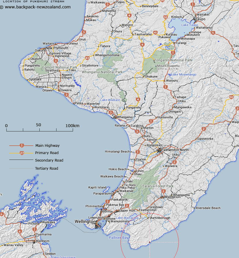
Map showing location of Pukemuri Stream


LINZ description: Rises appr. 4 km from the shore, flows south-easterly into the sea after passing Pukemuri (hill) on its west side.
Latitude: -41.521268
Longitude: 175.482063
Northing: 5400400
Easting: 1807100
Land District: Wellington
Feat Type: Stream


Scroll down to see a more detailed road map and below that a topographical map showing the location of Pukemuri Stream. The road map has been supplied by openstreetmap and the topographical map of Pukemuri Stream has been supplied by Land Information New Zealand (LINZ).

Yes you can use the top static map for you school/university project or personal website with a link back. Contact me for any commercial use.

Pukemuri Stream Map New Zealand


New Zealand places in our database
[ A ] [ B ] [ C ] [ D ] [ E ] [ F ] [ G ] [ H ] [ I ] [ J ] [ K ] [ L ] [ M ] [ N ] [ O ] [ P ] [ Q ] [ R ] [ S ] [ T ] [ U ] [ V ] [ W ] [ X ] [ Y ] [ Z ]


Closest 20 Streams to Pukemuri Stream

Pukemuri Stream ( 0km )   Puaki Muri Stream ( 0km )   Awheaiti Stream ( 2.16km )   Oroi Stream ( 3.7km )   Opouawe River ( 4.63km )   Hungaroa Stream ( 6.15km )   Waikowhai Stream ( 7.74km )   Waikowai Stream ( 7.74km )   Poley Stream ( 8.02km )   Rough Stream ( 9.02km )   Cape River ( 9.08km )   Coopers Stream ( 9.09km )   Whawanui River ( 9.52km )   Castle River ( 9.9km )   Stony Creek ( 10.72km )   Huariki Stream ( 10.97km )   Awhea River ( 11.51km )   Waiarakeke Stream ( 11.91km )   Haitai Stream ( 12.73km )   Mataopera Stream ( 13.65km )   Hapukura Stream ( 14.35km )   Waitutuna Stream ( 14.72km )   Waitetuna Stream ( 14.72km )   Turanganui River East Branch ( 15.19km )   Waihoronuku Stream ( 16.09km )   Turanganui River West Branch ( 16.45km )   Oterei River ( 16.84km )   Whakapuni Stream ( 17.03km )   Wakapuni Stream ( 17.03km )   Okoropunga Stream ( 17.06km )   Te Roro Stream ( 17.42km )   Coles Creek ( 17.68km )   Ruakokoputuna River ( 18.03km )   Jacobs Ladder Creek ( 18.29km )   Kirikiri Stream ( 19.01km )   Taukare Stream ( 19.45km )   Clay Creek ( 19.72km )   Otakaha Stream ( 19.76km )   Makara River ( 19.88km )   Mangatoetoe Stream ( 19.9km )