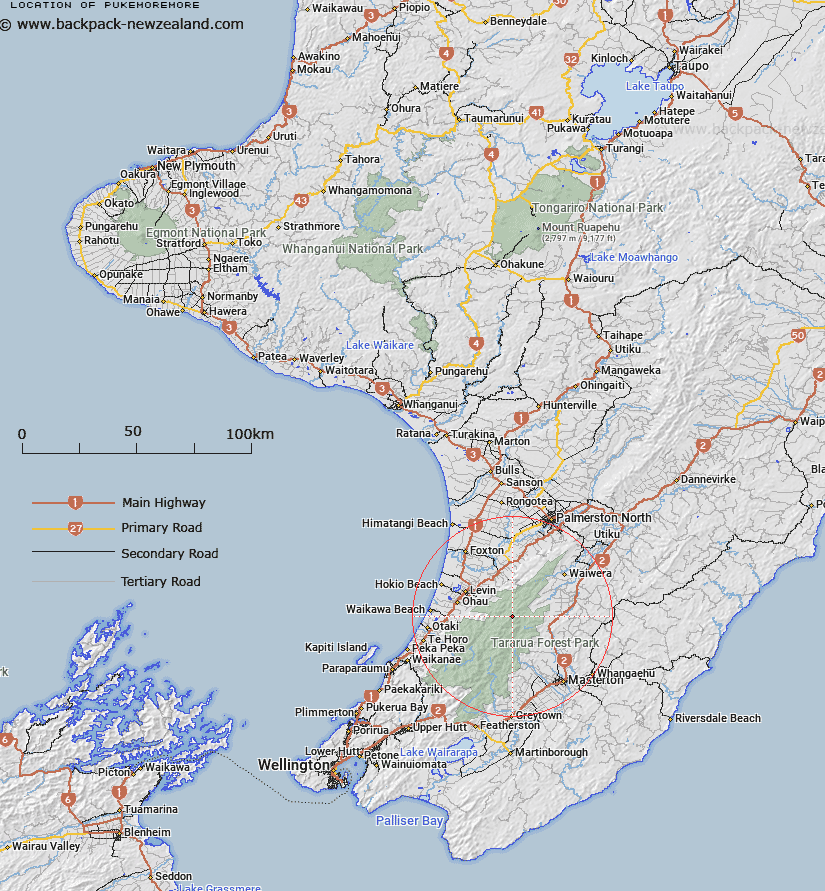
Map showing location of Pukemoremore
LINZ description: Peak approximately 120 chains north-east of Mount Dundas. Tararua Survey District.
Latitude: -40.710698
Longitude: 175.467706
Northing: 5490428.6
Easting: 1808452.4
Land District: Wellington
Feat Type: Trig Station
Latitude: -40.710698
Longitude: 175.467706
Northing: 5490428.6
Easting: 1808452.4
Land District: Wellington
Feat Type: Trig Station

Scroll down to see a more detailed road map and below that a topographical map showing the location of Pukemoremore. The road map has been supplied by openstreetmap and the topographical map of Pukemoremore has been supplied by Land Information New Zealand (LINZ).
Yes you can use the top static map for you school/university project or personal website with a link back. Contact me for any commercial use.
[ A ] [ B ] [ C ] [ D ] [ E ] [ F ] [ G ] [ H ] [ I ] [ J ] [ K ] [ L ] [ M ] [ N ] [ O ] [ P ] [ Q ] [ R ] [ S ] [ T ] [ U ] [ V ] [ W ] [ X ] [ Y ] [ Z ]