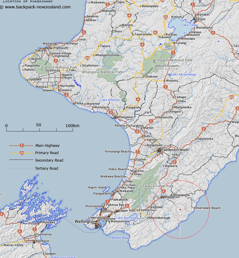
Map showing location of Pukekowhai
LINZ description: Trig station of a height of 500m, approximately 3.5km north-west of Ngahape and 26km south-east of Masterton.
Latitude: -41.107344
Longitude: 175.890324
Northing: 5445300
Easting: 1842700
Land District: Wellington
Feat Type: Trig Station
Latitude: -41.107344
Longitude: 175.890324
Northing: 5445300
Easting: 1842700
Land District: Wellington
Feat Type: Trig Station

Scroll down to see a more detailed road map and below that a topographical map showing the location of Pukekowhai. The road map has been supplied by openstreetmap and the topographical map of Pukekowhai has been supplied by Land Information New Zealand (LINZ).
Yes you can use the top static map for you school/university project or personal website with a link back. Contact me for any commercial use.
[ A ] [ B ] [ C ] [ D ] [ E ] [ F ] [ G ] [ H ] [ I ] [ J ] [ K ] [ L ] [ M ] [ N ] [ O ] [ P ] [ Q ] [ R ] [ S ] [ T ] [ U ] [ V ] [ W ] [ X ] [ Y ] [ Z ]