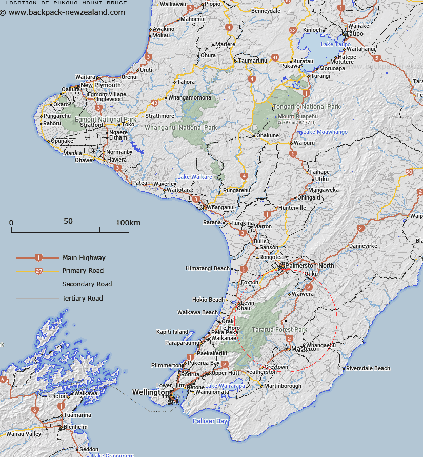
Map showing location of Pukaha / Mount Bruce
LINZ description: A hill at 710m approximately 12km southwest of Eketahuna in the middle of Pukaha / Mount Bruce Scenic Reserve. Feature shown on: NZMS260 T25 Edition 1 1978; NZTopo50-BN34 229862.
Latitude: -40.745
Longitude: 175.640278
Northing: 5486196.1
Easting: 1822916.8
Land District: Wellington
Feat Type: Hill
Latitude: -40.745
Longitude: 175.640278
Northing: 5486196.1
Easting: 1822916.8
Land District: Wellington
Feat Type: Hill

Scroll down to see a more detailed road map and below that a topographical map showing the location of Pukaha / Mount Bruce. The road map has been supplied by openstreetmap and the topographical map of Pukaha / Mount Bruce has been supplied by Land Information New Zealand (LINZ).
Yes you can use the top static map for you school/university project or personal website with a link back. Contact me for any commercial use.
[ A ] [ B ] [ C ] [ D ] [ E ] [ F ] [ G ] [ H ] [ I ] [ J ] [ K ] [ L ] [ M ] [ N ] [ O ] [ P ] [ Q ] [ R ] [ S ] [ T ] [ U ] [ V ] [ W ] [ X ] [ Y ] [ Z ]