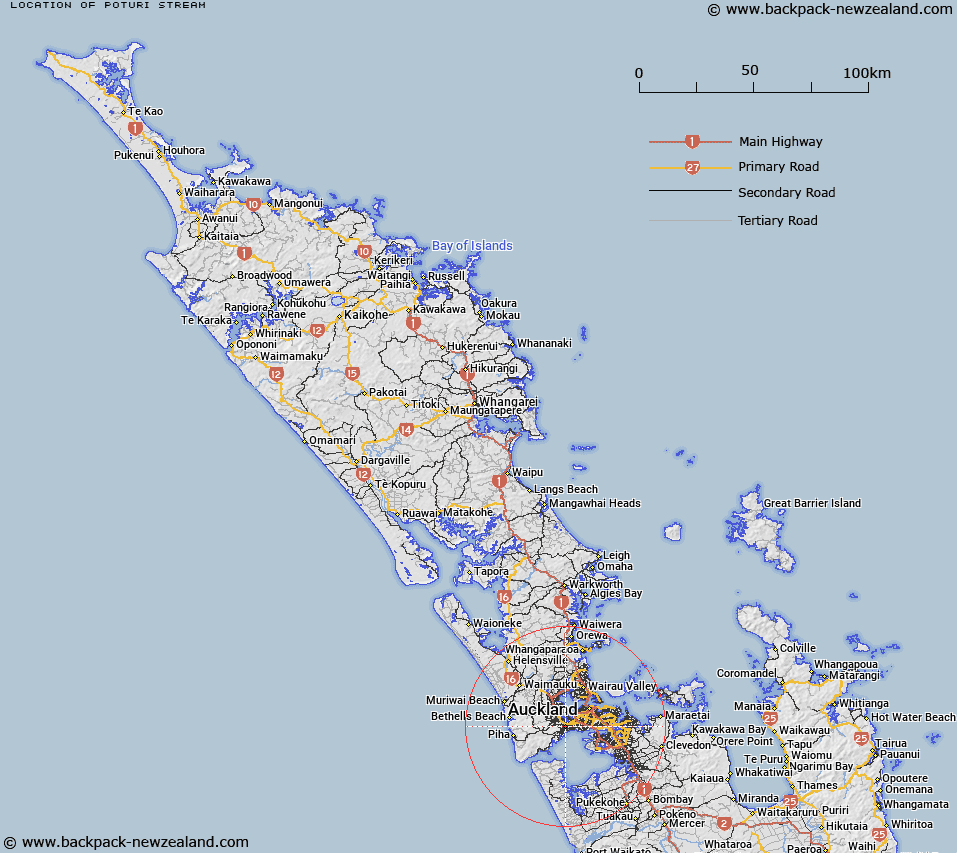
Map showing location of Poturi Stream


LINZ description: Stream flows from North Titirangi into Manawa Stream
Latitude: -36.918973
Longitude: 174.66918
Northing: 5912815
Easting: 1748680.5
Land District: North Auckland
Feat Type: Stream


Scroll down to see a more detailed road map and below that a topographical map showing the location of Poturi Stream. The road map has been supplied by openstreetmap and the topographical map of Poturi Stream has been supplied by Land Information New Zealand (LINZ).

Yes you can use the top static map for you school/university project or personal website with a link back. Contact me for any commercial use.

Poturi Stream Map New Zealand


New Zealand places in our database
[ A ] [ B ] [ C ] [ D ] [ E ] [ F ] [ G ] [ H ] [ I ] [ J ] [ K ] [ L ] [ M ] [ N ] [ O ] [ P ] [ Q ] [ R ] [ S ] [ T ] [ U ] [ V ] [ W ] [ X ] [ Y ] [ Z ]


Closest 20 Streams to Poturi Stream

Scroggy Stream ( 0.82km )   Manawa Stream ( 1.02km )   Rewarewa Creek ( 1.04km )   Taroa Stream ( 1.36km )   Parahiku Stream ( 1.44km )   Hibernia Stream ( 1.62km )   Avondale Stream ( 1.79km )   Whakarino Stream ( 1.82km )   Bishop Stream ( 1.93km )   Gaden Stream ( 2.54km )   Wairau Creek ( 3.17km )   Paturoa Stream ( 3.2km )   Sharp Stream ( 3.28km )   Sharpe Stream ( 3.28km )   Waikumete Stream ( 3.77km )   Glendene Stream ( 3.93km )   Wairaki Stream ( 4.03km )   Sunde Stream ( 4.08km )   Kaurimu Stream ( 4.17km )   Woonton Creek ( 4.2km )   Oakley Creek ( 4.27km )   Waituna Stream ( 4.44km )   Little Muddy Creek ( 4.76km )   Waiohua Creek ( 4.99km )   Cochrane Stream ( 5.05km )   Cochran Stream ( 5.05km )   Woodlands Stream ( 5.14km )   Whau River ( 5.66km )   Waitaro Stream ( 5.67km )   Cantys Stream ( 5.67km )   Campbell Stream ( 6.02km )   Anamata Stream ( 6.1km )   Wood Stream ( 6.19km )   Williams Stream ( 6.22km )   William Stream ( 6.22km )   Oratia Stream ( 6.65km )   Rata Paddock Stream ( 6.71km )   Finn Creek ( 6.72km )   Potter Stream ( 6.98km )   Bendalls Creek ( 6.98km )