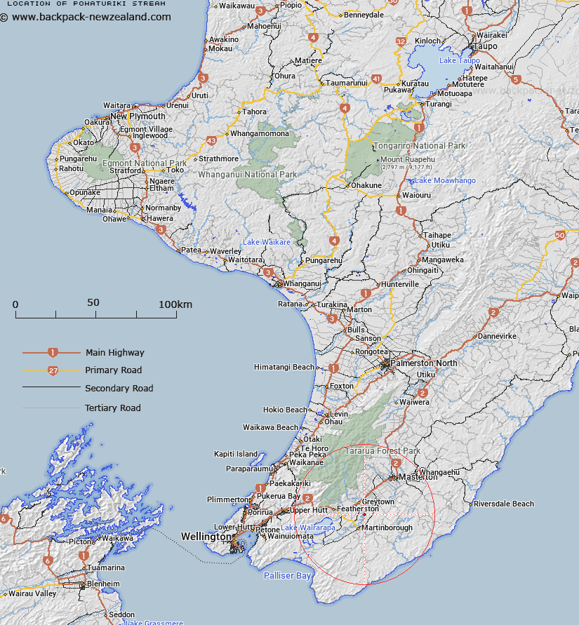
Map showing location of Pohaturiki Stream


LINZ description: Right Bank tributary of Ruamahanga River rising 600m North east of Trig. 16271 (Geodetic Code A2YA), flowing westward and joining Ruamahanga River 1.3km North-west of Trig. 16271. Block II, Huangarua Survey District
Latitude: -41.144834
Longitude: 175.493828
Northing: 5442167
Easting: 1809283.9
Land District: Wellington
Feat Type: Stream


Scroll down to see a more detailed road map and below that a topographical map showing the location of Pohaturiki Stream. The road map has been supplied by openstreetmap and the topographical map of Pohaturiki Stream has been supplied by Land Information New Zealand (LINZ).

Yes you can use the top static map for you school/university project or personal website with a link back. Contact me for any commercial use.

Pohaturiki Stream Map New Zealand


New Zealand places in our database
[ A ] [ B ] [ C ] [ D ] [ E ] [ F ] [ G ] [ H ] [ I ] [ J ] [ K ] [ L ] [ M ] [ N ] [ O ] [ P ] [ Q ] [ R ] [ S ] [ T ] [ U ] [ V ] [ W ] [ X ] [ Y ] [ Z ]


Closest 20 Streams to Pohaturiki Stream

Big Swamp Stream ( 3.41km )   Waiohine River ( 4.46km )   Waitawatautau Stream ( 5km )   Papawai Stream ( 5.72km )   Ruamahunga River ( 5.97km )   Ruamahanga River ( 5.97km )   Otukura Stream ( 6.98km )   Muhunoa Stream ( 7.67km )   Ahiaruhe Stream ( 7.94km )   Waikoukou Stream ( 9.55km )   Stonestead Creek ( 9.56km )   Whangaehu Stream ( 9.69km )   Waiohine River ( 9.84km )   Waiohina River ( 9.84km )   Mangahuia Stream ( 10.22km )   Te Maire Stream ( 10.59km )   Hikunui Stream ( 10.79km )   Hikinui Stream ( 10.79km )   Whakarua Stream ( 11.07km )   Beef Creek ( 11.15km )   Booths Creek ( 11.6km )   Kokotau Water Race ( 12.37km )   Maringiawai Stream ( 12.71km )   Tawhiriwaimanuka Stream ( 12.99km )   Te Ahitaitai Stream ( 13.35km )   Willow Tree Stream ( 13.62km )   Huangarua River ( 13.64km )   Makahakaha Stream ( 13.69km )   Makahaka Stream ( 13.69km )   Mangatarere Stream ( 13.8km )   Parkvale Stream ( 13.9km )   Kellys Stream ( 14.03km )   Dry River ( 14.37km )   Waikoukou Stream ( 14.48km )   Maungatawhetau Stream ( 14.5km )   Otauira Stream ( 14.67km )   Ngarara Stream ( 15.03km )   Ririwai Stream ( 15.46km )   Boar Creek ( 15.51km )   Taits Stream ( 16.32km )