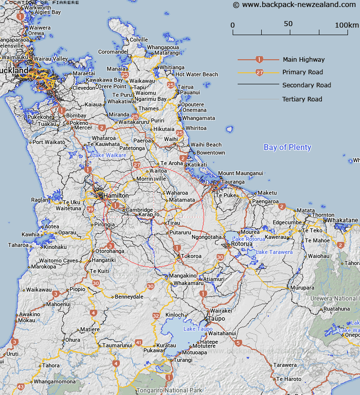
Map showing location of Piarere
LINZ description: Approximately 20km east of Cambridge. Located near Waikato River
Latitude: -37.931617
Longitude: 175.673898
Northing: 5798400
Easting: 1835000
Land District: South Auckland
Feat Type: Locality
Latitude: -37.931617
Longitude: 175.673898
Northing: 5798400
Easting: 1835000
Land District: South Auckland
Feat Type: Locality

Scroll down to see a more detailed road map and below that a topographical map showing the location of Piarere. The road map has been supplied by openstreetmap and the topographical map of Piarere has been supplied by Land Information New Zealand (LINZ).
Yes you can use the top static map for you school/university project or personal website with a link back. Contact me for any commercial use.
[ A ] [ B ] [ C ] [ D ] [ E ] [ F ] [ G ] [ H ] [ I ] [ J ] [ K ] [ L ] [ M ] [ N ] [ O ] [ P ] [ Q ] [ R ] [ S ] [ T ] [ U ] [ V ] [ W ] [ X ] [ Y ] [ Z ]