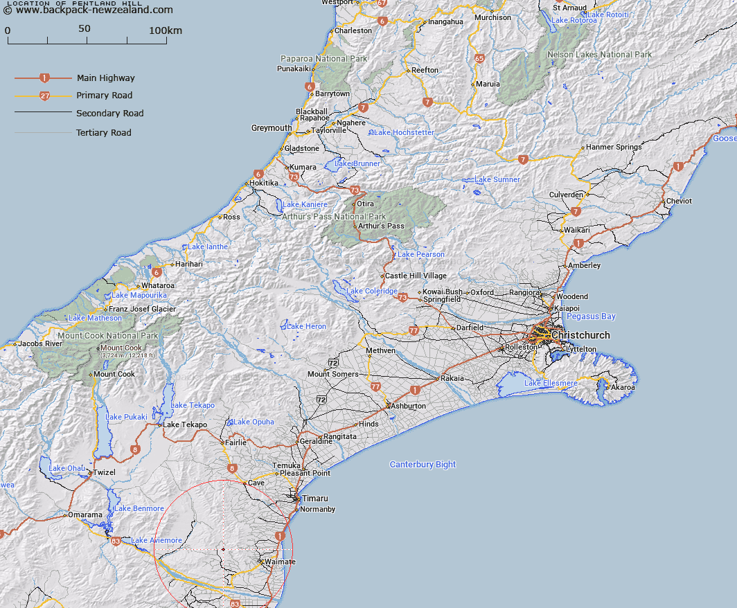
Map showing location of Pentland Hill
LINZ description: Trig. Y (Geodetic Code B2RU), and Hill between North and South Branches Waihao River, approx 9 1/2 Km West of Gunns Bush. Block VII Waihao Survey District
Latitude: -44.664737
Longitude: 170.83823
Northing: 5052018.8
Easting: 1428628.2
Land District: Canterbury
Feat Type: Trig Station
Latitude: -44.664737
Longitude: 170.83823
Northing: 5052018.8
Easting: 1428628.2
Land District: Canterbury
Feat Type: Trig Station

Scroll down to see a more detailed road map and below that a topographical map showing the location of Pentland Hill. The road map has been supplied by openstreetmap and the topographical map of Pentland Hill has been supplied by Land Information New Zealand (LINZ).
Yes you can use the top static map for you school/university project or personal website with a link back. Contact me for any commercial use.
[ A ] [ B ] [ C ] [ D ] [ E ] [ F ] [ G ] [ H ] [ I ] [ J ] [ K ] [ L ] [ M ] [ N ] [ O ] [ P ] [ Q ] [ R ] [ S ] [ T ] [ U ] [ V ] [ W ] [ X ] [ Y ] [ Z ]