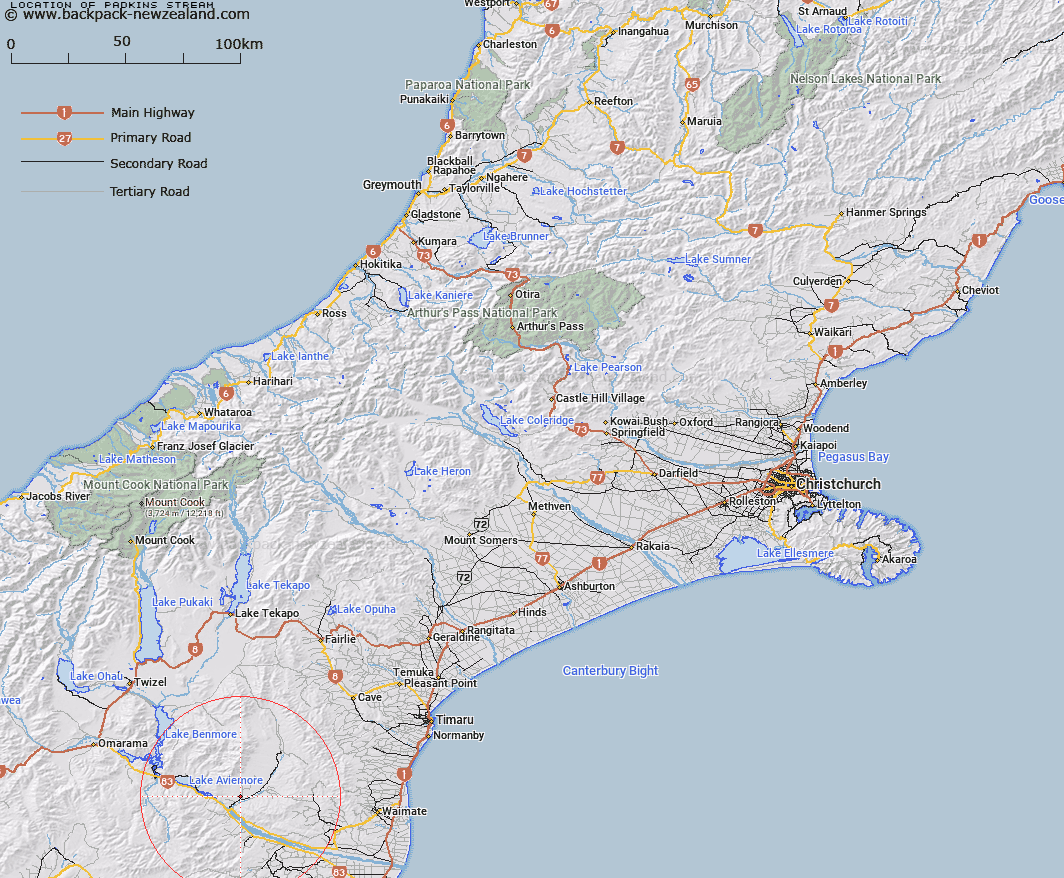
Map showing location of Padkins Stream


LINZ description: Stream flowing south along western side of Milne Road to meet Farm Stream
Latitude: -44.674971
Longitude: 170.523157
Northing: 5050170.9
Easting: 1403685.6
Land District: Canterbury
Feat Type: Stream


Scroll down to see a more detailed road map and below that a topographical map showing the location of Padkins Stream. The road map has been supplied by openstreetmap and the topographical map of Padkins Stream has been supplied by Land Information New Zealand (LINZ).

Yes you can use the top static map for you school/university project or personal website with a link back. Contact me for any commercial use.

Padkins Stream Map New Zealand


New Zealand places in our database
[ A ] [ B ] [ C ] [ D ] [ E ] [ F ] [ G ] [ H ] [ I ] [ J ] [ K ] [ L ] [ M ] [ N ] [ O ] [ P ] [ Q ] [ R ] [ S ] [ T ] [ U ] [ V ] [ W ] [ X ] [ Y ] [ Z ]


Closest 20 Streams to Padkins Stream

Farm Stream ( 1.84km )   Belfield Stream ( 2.34km )   Kirkliston Stream ( 3.58km )   Brothers Stream ( 8.14km )   Potato Creek ( 8.6km )   Sisters Creek South Branch ( 9.71km )   Sisters Creek North Branch ( 9.86km )   Station Stream ( 10.33km )   Macleod Stream ( 10.9km )   Homestead Stream ( 11.02km )   Coal Stream ( 11.28km )   Rattray Stream ( 11.69km )   Fraser Stream ( 11.75km )   Awahokomo Creek ( 11.75km )   Deadman Stream ( 12.1km )   Bluestone Creek ( 12.26km )   Awakino River ( 12.41km )   Mount Orr Stream ( 12.63km )   Poplar Stream ( 13.33km )   Wharekuri Creek ( 13.43km )   Deep Stream ( 13.69km )   Little Awakino River ( 13.82km )   Kurow River ( 14.51km )   Malcolms Creek ( 14.92km )   Waitaki River ( 15.17km )   Awakino River West Branch ( 15.2km )   Waitoura Creek ( 15.31km )   Awakino River East Branch ( 15.5km )   McKays Stream ( 15.66km )   Baker Creek ( 16.02km )   Fern Gully Creek ( 16.08km )   Stony Creek ( 16.83km )   McRae Creek ( 16.84km )   Stony Stream ( 16.95km )   Doctors Creek ( 17.45km )   Sandstone Creek ( 17.51km )   Otekaike River ( 17.6km )   Otekaieke River ( 17.6km )   Penticotico Stream ( 17.63km )   Dry Stream ( 17.64km )