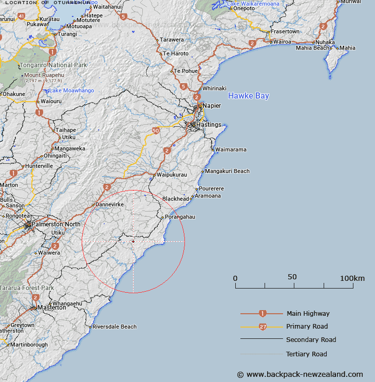
Map showing location of Otuarehua
LINZ description: Trig station, Geodetic code AJ4K, on hill approx 225m, 1.75km North-east of corner of Glenora and Soldiers Roads, 4.2km East of Mount Arthur. On southern boundary of Weber Survey District and northern boundary of Waimate Survey District.
Latitude: -40.471596
Longitude: 176.394376
Northing: 5514361.9
Easting: 1887766.6
Land District: Hawke's Bay, Wellington
Feat Type: Trig Station
Latitude: -40.471596
Longitude: 176.394376
Northing: 5514361.9
Easting: 1887766.6
Land District: Hawke's Bay, Wellington
Feat Type: Trig Station

Scroll down to see a more detailed road map and below that a topographical map showing the location of Otuarehua. The road map has been supplied by openstreetmap and the topographical map of Otuarehua has been supplied by Land Information New Zealand (LINZ).
Yes you can use the top static map for you school/university project or personal website with a link back. Contact me for any commercial use.
[ A ] [ B ] [ C ] [ D ] [ E ] [ F ] [ G ] [ H ] [ I ] [ J ] [ K ] [ L ] [ M ] [ N ] [ O ] [ P ] [ Q ] [ R ] [ S ] [ T ] [ U ] [ V ] [ W ] [ X ] [ Y ] [ Z ]