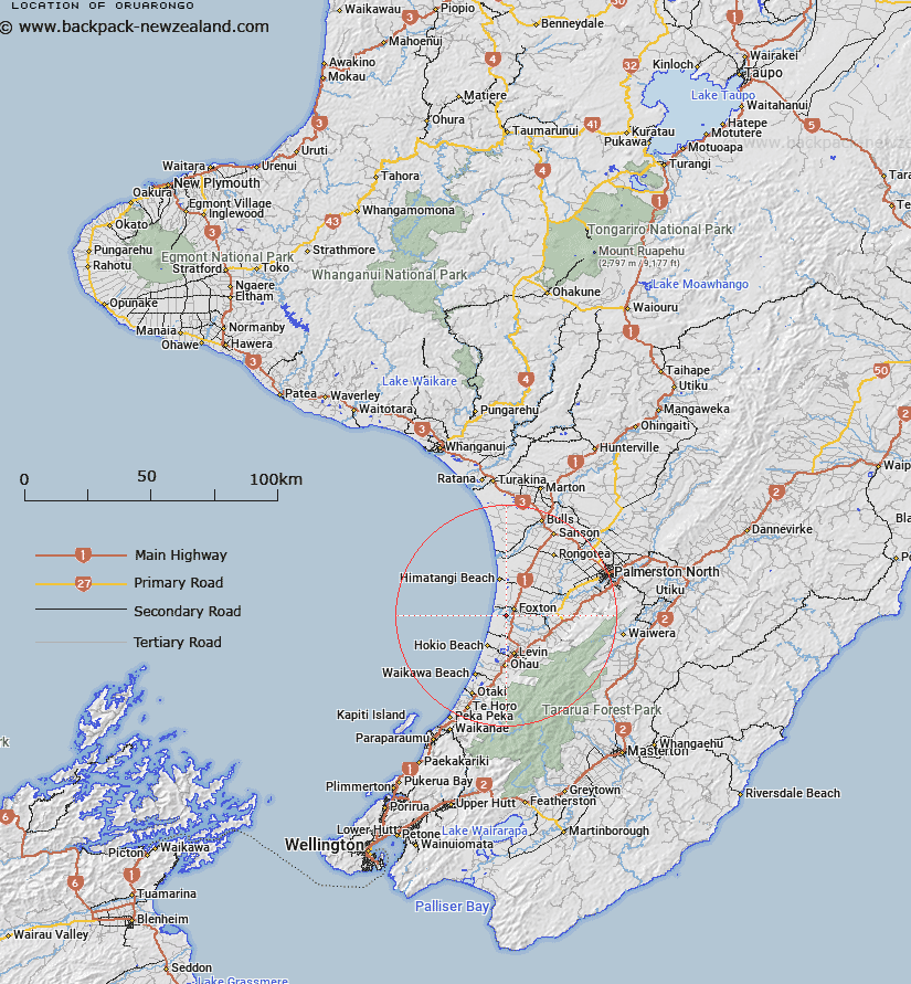
Map showing location of Oruarongo
LINZ description: Trig. E, between Waitarere Forest and Foxton at Whirokino Cut on Manawatu River
Latitude: -40.492748
Longitude: 175.258501
Northing: 5515100
Easting: 1791400
Land District: Wellington
Feat Type: Trig Station
Latitude: -40.492748
Longitude: 175.258501
Northing: 5515100
Easting: 1791400
Land District: Wellington
Feat Type: Trig Station

Scroll down to see a more detailed road map and below that a topographical map showing the location of Oruarongo. The road map has been supplied by openstreetmap and the topographical map of Oruarongo has been supplied by Land Information New Zealand (LINZ).
Yes you can use the top static map for you school/university project or personal website with a link back. Contact me for any commercial use.
[ A ] [ B ] [ C ] [ D ] [ E ] [ F ] [ G ] [ H ] [ I ] [ J ] [ K ] [ L ] [ M ] [ N ] [ O ] [ P ] [ Q ] [ R ] [ S ] [ T ] [ U ] [ V ] [ W ] [ X ] [ Y ] [ Z ]