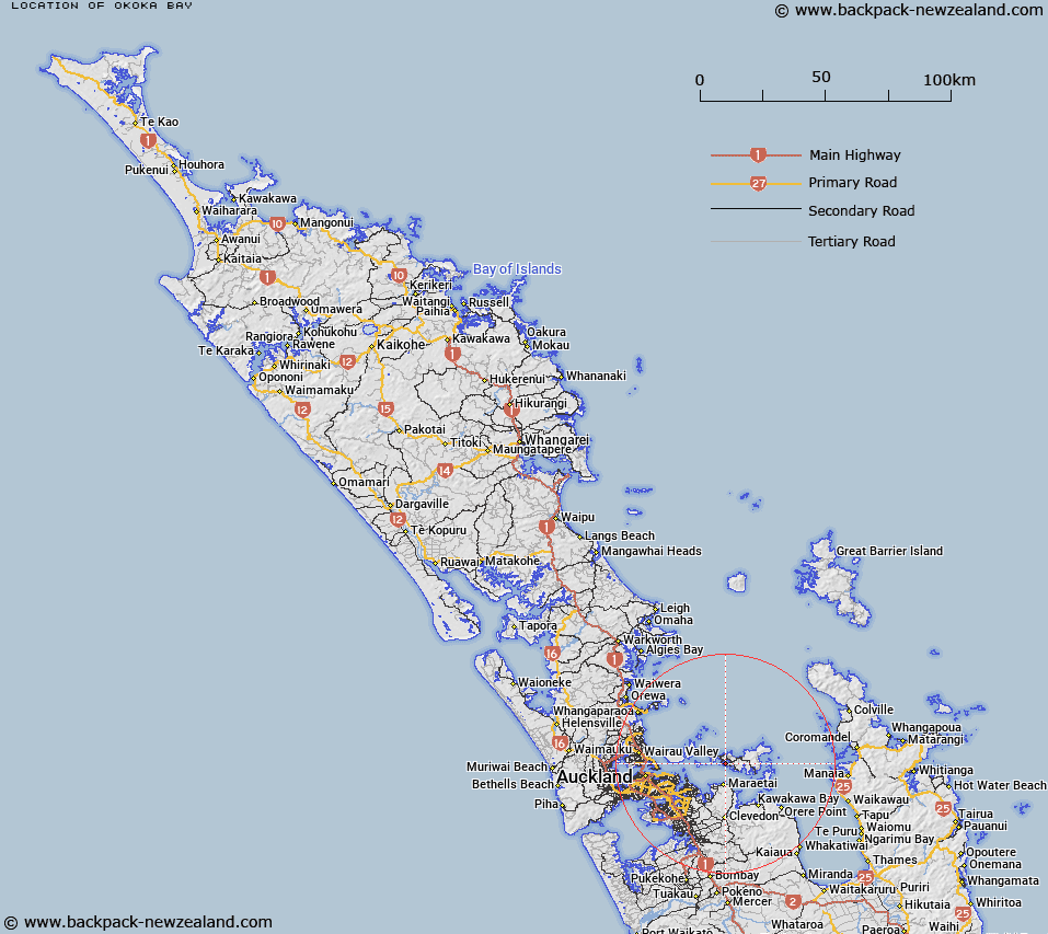
Map showing location of Okoka Bay


LINZ description: Bay north east of Wharetana Bay on the southern side of Waiheke Island within Putiki Bay.
Latitude: -36.808704
Longitude: 175.043634
Northing: 5924400
Easting: 1782300
Land District: North Auckland
Feat Type: Bay


Scroll down to see a more detailed road map and below that a topographical map showing the location of Okoka Bay. The road map has been supplied by openstreetmap and the topographical map of Okoka Bay has been supplied by Land Information New Zealand (LINZ).

Yes you can use the top static map for you school/university project or personal website with a link back. Contact me for any commercial use.

Okoka Bay Map New Zealand


New Zealand places in our database
[ A ] [ B ] [ C ] [ D ] [ E ] [ F ] [ G ] [ H ] [ I ] [ J ] [ K ] [ L ] [ M ] [ N ] [ O ] [ P ] [ Q ] [ R ] [ S ] [ T ] [ U ] [ V ] [ W ] [ X ] [ Y ] [ Z ]


Closest 20 Bays to Okoka Bay

Wharetana Bay ( 0.45km )   Oakura Bay ( 0.84km )   Anzac Bay ( 0.95km )   Putiki Bay ( 1.08km )   Putaki Bay ( 1.16km )   Te Akau o Hine ( 1.27km )   Tanerore Cove ( 1.3km )   Hitapa Bay ( 1.51km )   Kauakarau Bay ( 1.6km )   Kuakarau Bay ( 1.6km )   Te Whau Bay ( 1.81km )   Omiha Bay ( 1.86km )   Takirau Bay ( 2.18km )   Rocky Bay (Whakanewha Bay) ( 2.23km )   Kauaroa Bay ( 2.46km )   Huruhi Bay ( 2.72km )   Mawitipana Bay ( 3.41km )   Mawhitipana Bay ( 3.41km )   Kaikuku Bay ( 3.61km )   Repo Bay ( 3.72km )   Onetangi Bay ( 3.86km )   Waiheke Bay ( 3.93km )   Te Wharau Bay ( 3.98km )   Enclosure Bay ( 4.03km )   Opopoto Bay ( 4.08km )   Sandy Bay ( 4.16km )   Hekerua Bay ( 4.23km )   Oneroa Bay ( 4.32km )   Woodside Bay ( 4.41km )   Matarahui Bay ( 4.53km )   Cable Bay ( 5.02km )   Deadmans Bay ( 5.21km )   Pipitewai Bay ( 5.4km )   Piemelon Bay ( 5.43km )   Waimanga Bay ( 5.45km )   Church Bay ( 5.77km )   Awaawaroa Bay ( 5.78km )   Owhanake Bay ( 5.94km )   Woodlands Bay ( 6.02km )   Te Miro Bay ( 6.16km )