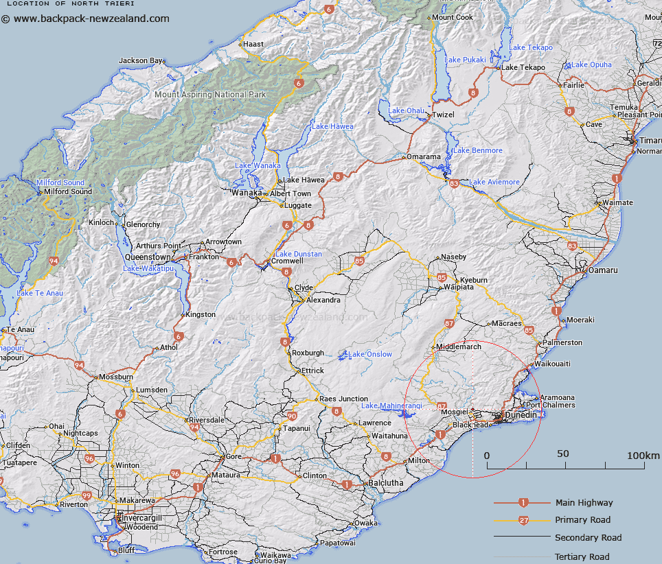
Map showing location of North Taieri
LINZ description: Geodetic code 1080 at 7m height south east of the Taieri River and north of the Owhiro Stream.at Mosgiel.
Latitude: -45.838175
Longitude: 170.343445
Northing: 4920500
Easting: 1393700
Land District: Otago
Feat Type: Trig Station
Latitude: -45.838175
Longitude: 170.343445
Northing: 4920500
Easting: 1393700
Land District: Otago
Feat Type: Trig Station

Scroll down to see a more detailed road map and below that a topographical map showing the location of North Taieri. The road map has been supplied by openstreetmap and the topographical map of North Taieri has been supplied by Land Information New Zealand (LINZ).
Yes you can use the top static map for you school/university project or personal website with a link back. Contact me for any commercial use.
[ A ] [ B ] [ C ] [ D ] [ E ] [ F ] [ G ] [ H ] [ I ] [ J ] [ K ] [ L ] [ M ] [ N ] [ O ] [ P ] [ Q ] [ R ] [ S ] [ T ] [ U ] [ V ] [ W ] [ X ] [ Y ] [ Z ]