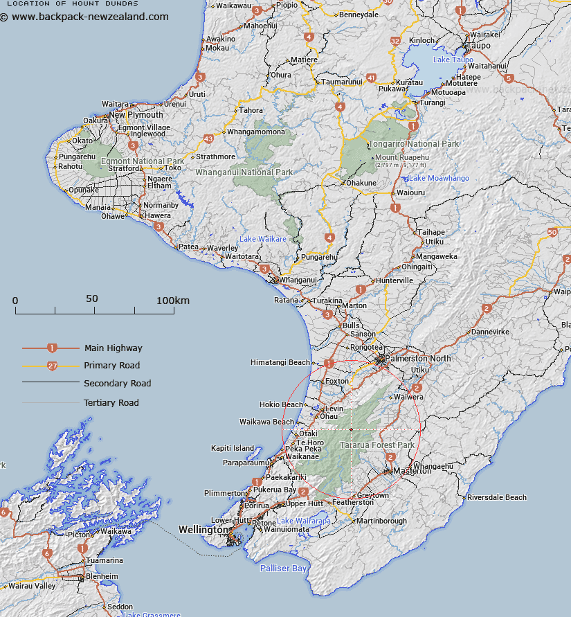
Map showing location of Mount Dundas
LINZ description: Trig. Station on peak on Dundas Ridge in the Tararua Range, 2.3km North of Bannister, and 2.3km South-west of Pukemoremore. Geodetic code: B18Y. Tararua Survey District.
Latitude: -40.725134
Longitude: 175.447654
Northing: 5488873.2
Easting: 1806713.7
Land District: Wellington
Feat Type: Trig Station
Latitude: -40.725134
Longitude: 175.447654
Northing: 5488873.2
Easting: 1806713.7
Land District: Wellington
Feat Type: Trig Station

Scroll down to see a more detailed road map and below that a topographical map showing the location of Mount Dundas. The road map has been supplied by openstreetmap and the topographical map of Mount Dundas has been supplied by Land Information New Zealand (LINZ).
Yes you can use the top static map for you school/university project or personal website with a link back. Contact me for any commercial use.
[ A ] [ B ] [ C ] [ D ] [ E ] [ F ] [ G ] [ H ] [ I ] [ J ] [ K ] [ L ] [ M ] [ N ] [ O ] [ P ] [ Q ] [ R ] [ S ] [ T ] [ U ] [ V ] [ W ] [ X ] [ Y ] [ Z ]