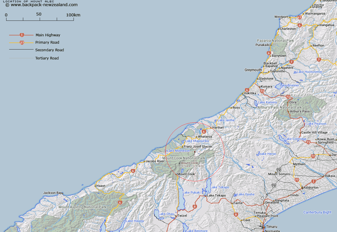
Map showing location of Mount Alec


LINZ description: 2269m peak on Maximilian Range South of Wilczek Peak, above the Burton and Leonard Glaciers.
Latitude: -43.449834
Longitude: 170.34282
Northing: 5185800
Easting: 1385000
Land District: Westland
Feat Type: Hill


Scroll down to see a more detailed road map and below that a topographical map showing the location of Mount Alec. The road map has been supplied by openstreetmap and the topographical map of Mount Alec has been supplied by Land Information New Zealand (LINZ).

Yes you can use the top static map for you school/university project or personal website with a link back. Contact me for any commercial use.

Mount Alec Map New Zealand


New Zealand places in our database
[ A ] [ B ] [ C ] [ D ] [ E ] [ F ] [ G ] [ H ] [ I ] [ J ] [ K ] [ L ] [ M ] [ N ] [ O ] [ P ] [ Q ] [ R ] [ S ] [ T ] [ U ] [ V ] [ W ] [ X ] [ Y ] [ Z ]


Closest 20 Hills to Mount Alec

Wilczek Peak ( 0.88km )   Mount Peter ( 0.92km )   Park Peak ( 1.22km )   Mount Park ( 1.23km )   Roderick Peak ( 1.8km )   Neophyte Peak ( 2.12km )   Mount Elie De Beaumont ( 3.74km )   Junction Peak ( 3.94km )   Mount Walter ( 4.78km )   Mount Green ( 5.61km )   Hochstetter Dom ( 5.68km )   Hochstetter Dome ( 5.68km )   Mount Barrowman ( 5.79km )   McFetrick Peak ( 6.36km )   Graceful Peak ( 6.37km )   Dog Kennel Peak ( 6.43km )   Mount Aylmer ( 6.55km )   Brodrick Peak ( 6.77km )   Coronet ( 6.8km )   Mount Mannering ( 6.87km )   King Peak ( 6.97km )   Mount Meeson ( 7.36km )   Mount Huss ( 7.59km )   Mount Downe ( 7.6km )   Drummond Peak ( 7.61km )   Vic Mountain ( 7.76km )   Mount Spencer ( 8.05km )   Mount Abel ( 8.12km )   Mount Gold Smith ( 8.25km )   Mount Goldsmith ( 8.25km )   Minarets ( 8.55km )   Mount Annan ( 8.58km )   Mount Darwin ( 8.58km )   Matenga Peak ( 8.6km )   Saint Mildred Peak ( 8.61km )   Mount Cooper ( 8.67km )   Mount Cloher ( 9.09km )   Mount Moffat ( 9.19km )   De La Beche ( 9.23km )   Mackay Rocks ( 9.45km )