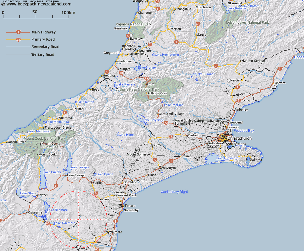
Map showing location of McKays Stream


LINZ description: Stream flows into Hakataramea River
Latitude: -44.568208
Longitude: 170.652237
Northing: 5062333.3
Easting: 1413575
Land District: Canterbury
Feat Type: Stream


Scroll down to see a more detailed road map and below that a topographical map showing the location of McKays Stream. The road map has been supplied by openstreetmap and the topographical map of McKays Stream has been supplied by Land Information New Zealand (LINZ).

Yes you can use the top static map for you school/university project or personal website with a link back. Contact me for any commercial use.

McKays Stream Map New Zealand


New Zealand places in our database
[ A ] [ B ] [ C ] [ D ] [ E ] [ F ] [ G ] [ H ] [ I ] [ J ] [ K ] [ L ] [ M ] [ N ] [ O ] [ P ] [ Q ] [ R ] [ S ] [ T ] [ U ] [ V ] [ W ] [ X ] [ Y ] [ Z ]


Closest 20 Streams to McKays Stream

Poplar Stream ( 2.37km )   Deadman Stream ( 4.34km )   Rocky Point Stream ( 4.59km )   Stony Creek ( 5.34km )   Cattle Creek ( 7.23km )   Bluestone Creek ( 7.63km )   Station Stream ( 7.99km )   Sisters Creek North Branch ( 8.19km )   Sisters Creek South Branch ( 8.76km )   Potato Creek ( 10.34km )   North Branch Waihao River ( 10.37km )   Peter Stream ( 10.42km )   Gorman Stream ( 10.71km )   Brothers Stream ( 12.26km )   Kirkliston Stream ( 12.27km )   Homestead Stream ( 12.68km )   Belfield Stream ( 13.41km )   Two Mile Stream ( 13.61km )   South Branch Waihao River ( 15.15km )   Padkins Stream ( 15.66km )   Wyatt Stream ( 15.86km )   Meyers Creek ( 16.14km )   Anderson Stream ( 16.22km )   Scour Stream ( 16.56km )   Deep Stream ( 16.92km )   Morton Stream ( 17.12km )   Farm Stream ( 17.2km )   South Branch Pareora River ( 17.34km )   Rattray Stream ( 17.34km )   Dunstan Stream ( 17.84km )   Pringle Stream ( 18.49km )   Fraser Stream ( 18.94km )   Motukaika River ( 19.37km )   Macleod Stream ( 19.43km )   Two Legged Stream ( 19.81km )   Otaio River ( 20.04km )   Hay Stream ( 20.89km )   Waihaorunga Stream ( 21.01km )   Basin Stream ( 21.12km )   MacGregor Stream ( 21.12km )