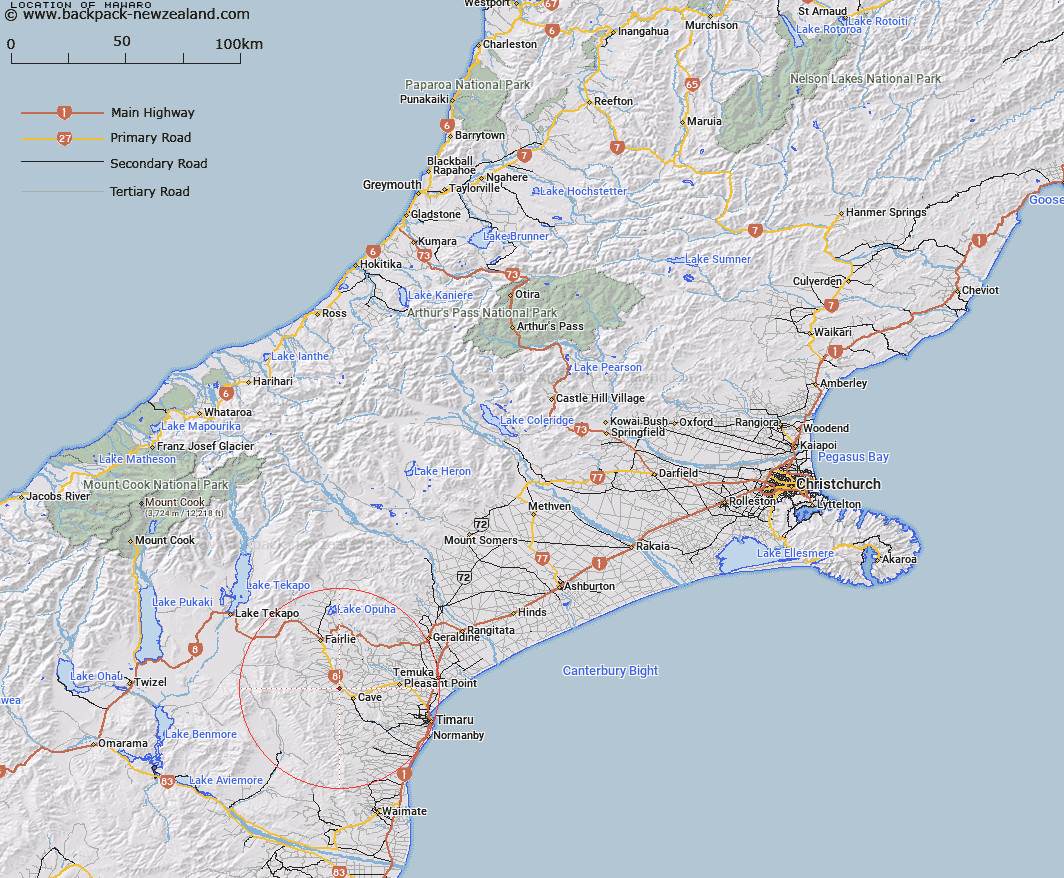
Map showing location of Mawaro
LINZ description: Small locality on the west bank of the Tengawai River between Albury and Cave, north west of Timaru.
Latitude: -44.275922
Longitude: 170.902188
Northing: 5095340.3
Easting: 1432590.2
Land District: Canterbury
Feat Type: Locality
Latitude: -44.275922
Longitude: 170.902188
Northing: 5095340.3
Easting: 1432590.2
Land District: Canterbury
Feat Type: Locality

Scroll down to see a more detailed road map and below that a topographical map showing the location of Mawaro. The road map has been supplied by openstreetmap and the topographical map of Mawaro has been supplied by Land Information New Zealand (LINZ).
Yes you can use the top static map for you school/university project or personal website with a link back. Contact me for any commercial use.
[ A ] [ B ] [ C ] [ D ] [ E ] [ F ] [ G ] [ H ] [ I ] [ J ] [ K ] [ L ] [ M ] [ N ] [ O ] [ P ] [ Q ] [ R ] [ S ] [ T ] [ U ] [ V ] [ W ] [ X ] [ Y ] [ Z ]