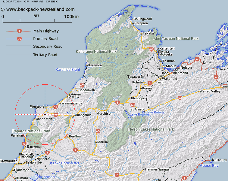
Map showing location of Marys Creek
LINZ description: Right bank tributary of Okari River, rising 2km West of Trig. L (Geodetic Code B1JL), flowing North-westward, and joining Okari River 600m North of Trig. C Caroline Terrace (Geodetic Code B1GV). Block II Waitakere and Blocks I and V Ohika Survey Districts.
Latitude: -41.84354
Longitude: 171.570396
Northing: 5366607.2
Easting: 1481312.6
Land District: Nelson
Feat Type: Stream
Latitude: -41.84354
Longitude: 171.570396
Northing: 5366607.2
Easting: 1481312.6
Land District: Nelson
Feat Type: Stream

Scroll down to see a more detailed road map and below that a topographical map showing the location of Marys Creek. The road map has been supplied by openstreetmap and the topographical map of Marys Creek has been supplied by Land Information New Zealand (LINZ).
Yes you can use the top static map for you school/university project or personal website with a link back. Contact me for any commercial use.
[ A ] [ B ] [ C ] [ D ] [ E ] [ F ] [ G ] [ H ] [ I ] [ J ] [ K ] [ L ] [ M ] [ N ] [ O ] [ P ] [ Q ] [ R ] [ S ] [ T ] [ U ] [ V ] [ W ] [ X ] [ Y ] [ Z ]