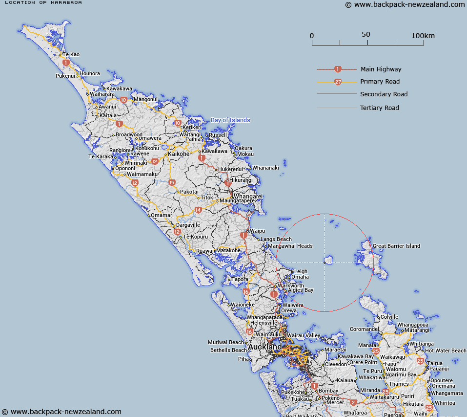
Map showing location of Maraeroa
LINZ description: Locality (not populated) near Te Titoki Point along the south-west coast, Hauturu/Little Barrier Island.
Latitude: -36.218829
Longitude: 175.055271
Northing: 5989821.6
Easting: 1784735.6
Land District: North Auckland
Feat Type: Locality
Latitude: -36.218829
Longitude: 175.055271
Northing: 5989821.6
Easting: 1784735.6
Land District: North Auckland
Feat Type: Locality

Scroll down to see a more detailed road map and below that a topographical map showing the location of Maraeroa. The road map has been supplied by openstreetmap and the topographical map of Maraeroa has been supplied by Land Information New Zealand (LINZ).
Yes you can use the top static map for you school/university project or personal website with a link back. Contact me for any commercial use.
[ A ] [ B ] [ C ] [ D ] [ E ] [ F ] [ G ] [ H ] [ I ] [ J ] [ K ] [ L ] [ M ] [ N ] [ O ] [ P ] [ Q ] [ R ] [ S ] [ T ] [ U ] [ V ] [ W ] [ X ] [ Y ] [ Z ]