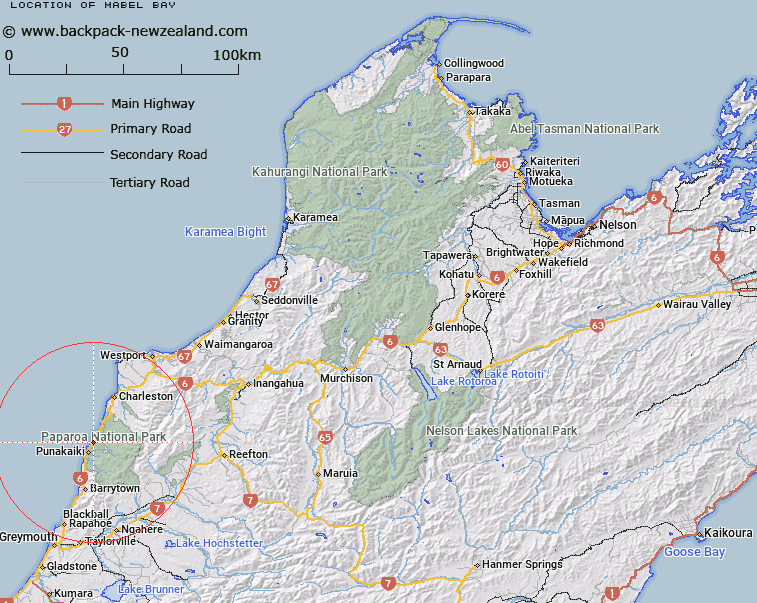
Map showing location of Mabel Bay


LINZ description: Bay located between Irimahuwhere Bay and Hatters Bay, north of Gentle Annie Rocks.
Latitude: -42.071809
Longitude: 171.357748
Northing: 5340946.1
Easting: 1464143.7
Land District: Nelson
Feat Type: Bay


Scroll down to see a more detailed road map and below that a topographical map showing the location of Mabel Bay. The road map has been supplied by openstreetmap and the topographical map of Mabel Bay has been supplied by Land Information New Zealand (LINZ).

Yes you can use the top static map for you school/university project or personal website with a link back. Contact me for any commercial use.

Mabel Bay Map New Zealand


New Zealand places in our database
[ A ] [ B ] [ C ] [ D ] [ E ] [ F ] [ G ] [ H ] [ I ] [ J ] [ K ] [ L ] [ M ] [ N ] [ O ] [ P ] [ Q ] [ R ] [ S ] [ T ] [ U ] [ V ] [ W ] [ X ] [ Y ] [ Z ]


Closest 20 Bays to Mabel Bay

Hatters Bay ( 1km )   Irimahuwheri Bay ( 1.36km )   Woodpecker Bay ( 6.07km )   Doctor Bay ( 19.43km )   Constant Bay ( 19.68km )   Joyce Bay ( 19.9km )   Tauranga Bay ( 34.47km )   Buller Bay ( 39.5km )   Molloy Bay ( 57.9km )   Dobson Bay ( 59.8km )   Howitt Bay ( 60.21km )   Bain Bay ( 60.85km )   Pah Bay ( 61.17km )   Cashmere Bay ( 61.54km )   Iveagh Bay ( 62.05km )   Carew Bay ( 62.32km )   Clematis Bay ( 63.4km )   Swan Bay ( 64.99km )   Uncle Bay ( 65.31km )   Canoe Cove ( 83.19km )   Hans Bay ( 83.32km )   Sunny Bight ( 83.6km )   Christmas Bay ( 86.72km )   Camp Bay ( 87.27km )   Big Bay ( 87.37km )   Grebe Bay ( 87.5km )   Picnic Bay ( 88.09km )   Shanghai Bay ( 88.7km )   Daylight Bight ( 88.83km )   Slip Bay ( 90.11km )   Home Bay ( 96.29km )   Pinafore Bay ( 97.13km )   Shoal Bay ( 97.96km )   Marion Bay ( 98.57km )   Breaksea Bay ( 99.33km )   Swell Bay ( 100.74km )   Karamea Bight ( 109.9km )   Ritchies Bay ( 119.55km )   Benford Bay ( 123.81km )   West Bay ( 125.13km )