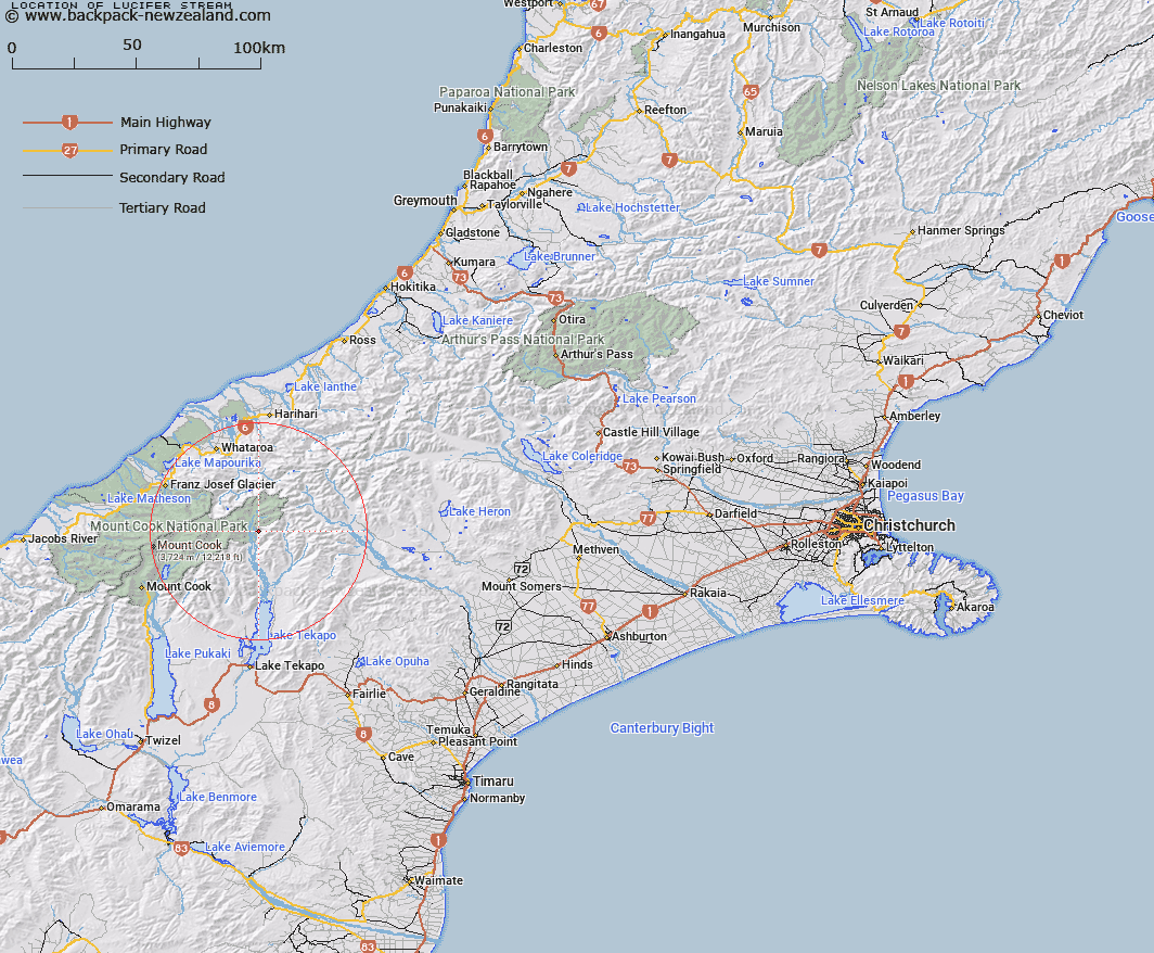
Map showing location of Lucifer Stream


LINZ description: Left bank tributary of Godley River, rising on the western slopes of Mount Sibbald in the Sibbald Range, flowing Westward and joining the Godley River 2km South of McKinnon Stream. Block VI Godley Survey District.
Latitude: -43.545013
Longitude: 170.515075
Northing: 5175659.5
Easting: 1399253.9
Land District: Canterbury
Feat Type: Stream


Scroll down to see a more detailed road map and below that a topographical map showing the location of Lucifer Stream. The road map has been supplied by openstreetmap and the topographical map of Lucifer Stream has been supplied by Land Information New Zealand (LINZ).

Yes you can use the top static map for you school/university project or personal website with a link back. Contact me for any commercial use.

Lucifer Stream Map New Zealand


New Zealand places in our database
[ A ] [ B ] [ C ] [ D ] [ E ] [ F ] [ G ] [ H ] [ I ] [ J ] [ K ] [ L ] [ M ] [ N ] [ O ] [ P ] [ Q ] [ R ] [ S ] [ T ] [ U ] [ V ] [ W ] [ X ] [ Y ] [ Z ]


Closest 20 Streams to Lucifer Stream

Godley River ( 4.39km )   McKinnon Stream ( 4.68km )   Separation Stream ( 5.39km )   Upper Tindill Stream ( 5.62km )   Rutherford Stream ( 6.17km )   Godley River North Branch ( 6.17km )   FitzGerald Stream ( 7.05km )   Lower Tindill Stream ( 7.58km )   Rankin Stream ( 8.46km )   Macaulay River ( 9km )   Weka Stream ( 9.1km )   Toms Stream ( 9.44km )   Stony Stream ( 13.05km )   Cass River East Branch ( 13.08km )   Butler River South Branch ( 13.53km )   Ajax Stream ( 13.53km )   Chevalier Stream ( 13.9km )   Manning Stream ( 13.96km )   Camp Creek ( 13.99km )   Cass River West Branch ( 14.16km )   Station Stream ( 14.37km )   Trojan Stream ( 14.64km )   Carneys Creek ( 14.82km )   Murphy Stream ( 15.29km )   Forbes River ( 15.52km )   Butler River ( 15.57km )   North East Gorge Stream ( 15.71km )   Scone Creek ( 16.26km )   Rocky Creek ( 16.37km )   Third Waterfall Stream ( 16.59km )   Second Waterfall Stream ( 16.83km )   Pollock Stream ( 16.96km )   Two Thumb Stream ( 17.21km )   Cass River ( 17.45km )   Bettison Stream ( 17.7km )   Burrow Creek ( 17.82km )   The Growler ( 18.07km )   Saddle Creek ( 18.22km )   First Waterfall Stream ( 18.26km )   Ailsa Stream ( 18.42km )