Map showing location of Long Reef


LINZ description: Feature shown on: NZMS260 D38 D39
Latitude: -44.328139
Longitude: 167.9945
Northing: 5079482.8
Easting: 1200894.7
Land District: Otago
Feat Type: Reef


Scroll down to see a more detailed road map and below that a topographical map showing the location of Long Reef. The road map has been supplied by openstreetmap and the topographical map of Long Reef has been supplied by Land Information New Zealand (LINZ).

Yes you can use the top static map for you school/university project or personal website with a link back. Contact me for any commercial use.
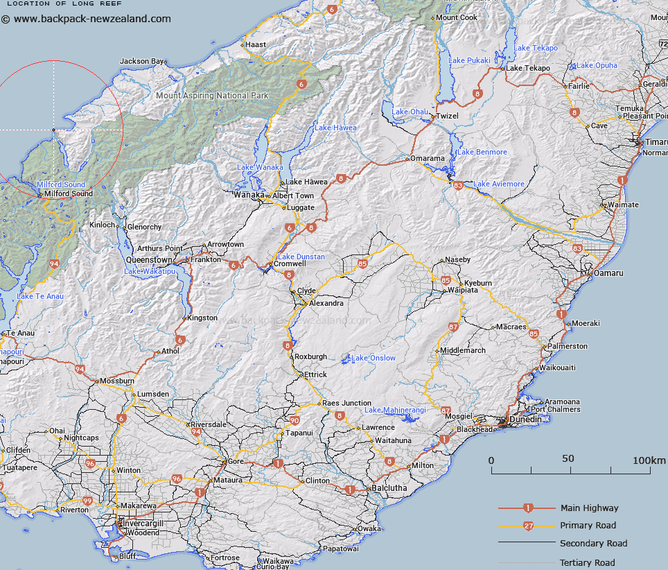
Long Reef Map New Zealand


New Zealand places in our database
[ A ] [ B ] [ C ] [ D ] [ E ] [ F ] [ G ] [ H ] [ I ] [ J ] [ K ] [ L ] [ M ] [ N ] [ O ] [ P ] [ Q ] [ R ] [ S ] [ T ] [ U ] [ V ] [ W ] [ X ] [ Y ] [ Z ]


Closest 20 Reefs to Long Reef

Clio Rock ( 67.34km )   Bristow Rock ( 128.01km )   Renown Rock ( 135.16km )   Tarapunga Rock ( 138.28km )   Tarawera Rock ( 141.12km )   T?t?nekai Rock ( 156.61km )   Return Rock ( 217.81km )   Mid Bay Reef ( 219.04km )   Tarewai Rock ( 222.73km )   Balleny Reef ( 227.83km )   Marshall Rocks ( 231.95km )   Long Reef ( 234.01km )   Escape Reefs ( 239.06km )   Moeraki Boulders ( 250.43km )   Moeraki Boulders/Kaihinaki ( 250.43km )   Channel Rocks ( 254.46km )   Ahuriri Rock ( 257.46km )   Taki-a-Maru (Fish Reef) ( 257.95km )   Anderson Rock ( 265.3km )   Australian Reef ( 266.79km )   Tomahawk Reef ( 267.29km )   Driver Rock ( 268.31km )   Fairchild Rock ( 271.67km )   Topi Rock ( 272.06km )   Hydra Rock ( 274.87km )   Newton Rock ( 275.28km )   Pender Rock ( 279.66km )   Kelly Rock ( 280.4km )   Fast Rock ( 284.86km )   Barclay Rock ( 285.66km )   Scollay Rocks ( 286.1km )   Look-out-for-Reef ( 286.19km )   Carter Rocks ( 290.05km )   Weka Reef ( 304.54km )   Theresa Rock ( 304.8km )   Passage Rock ( 305.87km )   Boomerang Breaker ( 350.16km )   Kamautaurua (Shag Reef) ( 385.1km )   Kamautaurua Island ( 385.1km )   Parson Rock ( 388.63km )