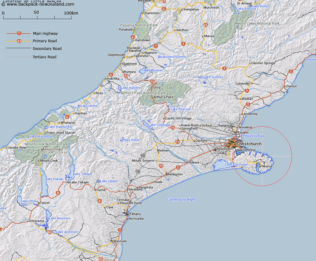
Map showing location of Little Akaloa


LINZ description: In lieu of Little Akaroa
Latitude: -43.677009
Longitude: 172.988835
Northing: 5164000
Easting: 1599100
Land District: Canterbury
Feat Type: Locality


Scroll down to see a more detailed road map and below that a topographical map showing the location of Little Akaloa. The road map has been supplied by openstreetmap and the topographical map of Little Akaloa has been supplied by Land Information New Zealand (LINZ).

Yes you can use the top static map for you school/university project or personal website with a link back. Contact me for any commercial use.

Little Akaloa Map New Zealand


New Zealand places in our database
[ A ] [ B ] [ C ] [ D ] [ E ] [ F ] [ G ] [ H ] [ I ] [ J ] [ K ] [ L ] [ M ] [ N ] [ O ] [ P ] [ Q ] [ R ] [ S ] [ T ] [ U ] [ V ] [ W ] [ X ] [ Y ] [ Z ]


Closest 20 Localitys to Little Akaloa

Chorlton ( 2.25km )   Okains Bay ( 5.49km )   Pigeon Bay ( 7.3km )   Kukupa ( 8.51km )   Duvauchelle ( 9.27km )   Robinsons Bay ( 9.72km )   Barrys Bay ( 10.64km )   Le Bons Bay ( 11.03km )   Takamatua ( 11.91km )   Puari ( 12.6km )   Hilltop ( 12.81km )   Hill Top ( 12.81km )   French Farm ( 13.32km )   Puaha ( 14.72km )   Cooptown ( 16.36km )   Wainui ( 17.03km )   The Kaik ( 17.93km )   Okuti Valley ( 18.07km )   Little River ( 19.11km )   Purau ( 19.72km )   Te Onepoto ( 20.04km )   Te Onepoto/Taylors Mistake ( 20.04km )   Te Awaparahi ( 21.68km )   Diamond Harbour ( 21.71km )   Charteris Bay ( 22.93km )   Kaituna Valley ( 24.45km )   Cass Bay ( 25.2km )   Rapaki ( 26.22km )   Ferrymead ( 26.28km )   Teddington ( 26.36km )   Governors Bay ( 27.49km )   Allandale ( 27.79km )   Taukahara ( 27.82km )   Ohinetahi ( 28.01km )   Birdlings Flat ( 28.21km )   Ataahua ( 29.4km )   Gebbies Valley ( 29.87km )   Motukarara ( 32.57km )   Westmorland ( 32.89km )   Lansdowne ( 34.36km )