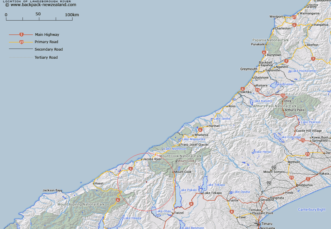
Map showing location of Landsborough River
LINZ description: Significant river, west of the main divide and east of Haast, flowing generally south-west from McKerrow Glacier into Haast River. Topo50 maps BY13 - Lake Paringa, BY14 - Mount Ward, and BY15 - Birch Hill, source: GR 542 540, confluence: GR 132 246.
Latitude: -43.859814
Longitude: 169.748869
Northing: 5138558.1
Easting: 1338724.8
Land District: Westland
Feat Type: Stream
Latitude: -43.859814
Longitude: 169.748869
Northing: 5138558.1
Easting: 1338724.8
Land District: Westland
Feat Type: Stream

Scroll down to see a more detailed road map and below that a topographical map showing the location of Landsborough River. The road map has been supplied by openstreetmap and the topographical map of Landsborough River has been supplied by Land Information New Zealand (LINZ).
Yes you can use the top static map for you school/university project or personal website with a link back. Contact me for any commercial use.
[ A ] [ B ] [ C ] [ D ] [ E ] [ F ] [ G ] [ H ] [ I ] [ J ] [ K ] [ L ] [ M ] [ N ] [ O ] [ P ] [ Q ] [ R ] [ S ] [ T ] [ U ] [ V ] [ W ] [ X ] [ Y ] [ Z ]