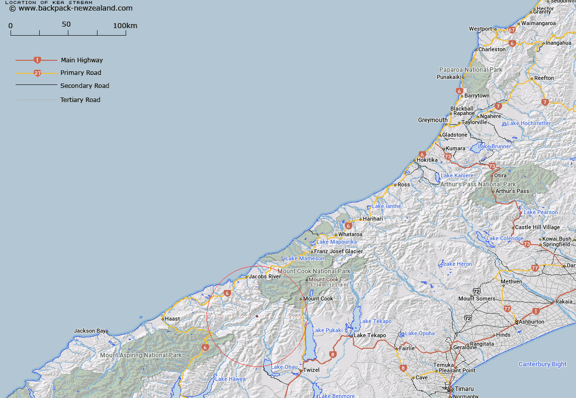
Map showing location of Kea Stream
LINZ description: Left bank tributary of Landsborough River rising North of Mount Hickson, flowing North-westward, and joining Landsborough River 500m south of Kea Flat, and 800m upstream of Jackson Creek. Block VIII Landsborough Survey District.
Latitude: -43.861075
Longitude: 169.763585
Northing: 5138464.4
Easting: 1339912.9
Land District: Westland
Feat Type: Stream
Latitude: -43.861075
Longitude: 169.763585
Northing: 5138464.4
Easting: 1339912.9
Land District: Westland
Feat Type: Stream

Scroll down to see a more detailed road map and below that a topographical map showing the location of Kea Stream. The road map has been supplied by openstreetmap and the topographical map of Kea Stream has been supplied by Land Information New Zealand (LINZ).
Yes you can use the top static map for you school/university project or personal website with a link back. Contact me for any commercial use.
[ A ] [ B ] [ C ] [ D ] [ E ] [ F ] [ G ] [ H ] [ I ] [ J ] [ K ] [ L ] [ M ] [ N ] [ O ] [ P ] [ Q ] [ R ] [ S ] [ T ] [ U ] [ V ] [ W ] [ X ] [ Y ] [ Z ]