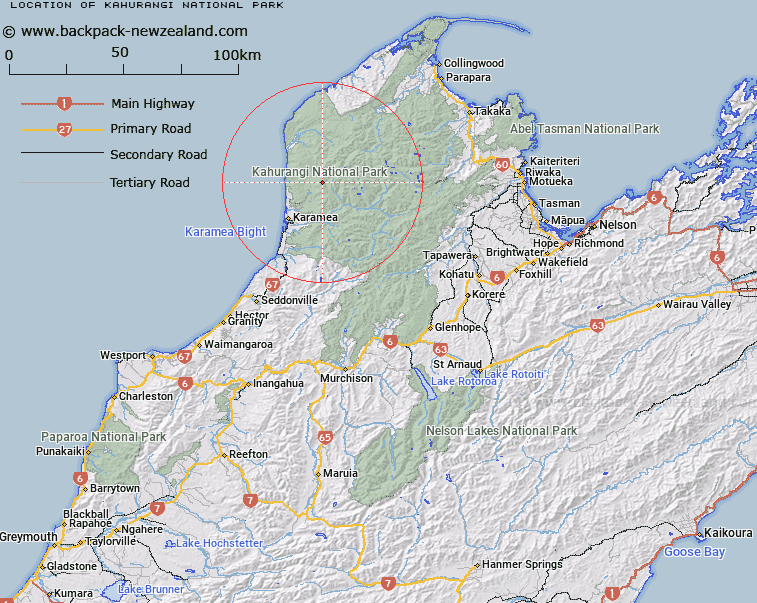
Map showing location of Kahurangi National Park
LINZ description: National Park, Sec 45 SO 15200
Latitude: -41.112222
Longitude: 172.235556
Northing: 5448503.5
Easting: 1535818
Land District: Nelson
Feat Type: National Park
Latitude: -41.112222
Longitude: 172.235556
Northing: 5448503.5
Easting: 1535818
Land District: Nelson
Feat Type: National Park

Scroll down to see a more detailed road map and below that a topographical map showing the location of Kahurangi National Park. The road map has been supplied by openstreetmap and the topographical map of Kahurangi National Park has been supplied by Land Information New Zealand (LINZ).
Yes you can use the top static map for you school/university project or personal website with a link back. Contact me for any commercial use.
[ A ] [ B ] [ C ] [ D ] [ E ] [ F ] [ G ] [ H ] [ I ] [ J ] [ K ] [ L ] [ M ] [ N ] [ O ] [ P ] [ Q ] [ R ] [ S ] [ T ] [ U ] [ V ] [ W ] [ X ] [ Y ] [ Z ]