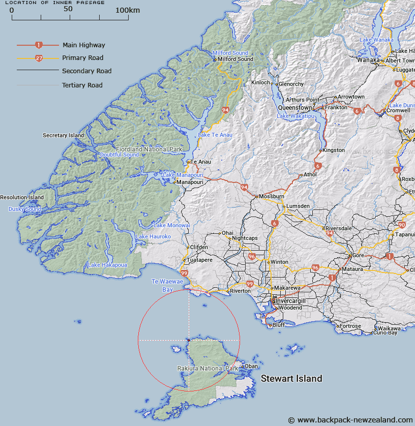
Map showing location of Inner Passage


LINZ description: Strait between the innermost of the Rugged Islands and the mainland. North-west coast Stewart Island.
Latitude: -46.708923
Longitude: 167.723798
Northing: 4813647.6
Easting: 1196734.3
Land District: Southland
Feat Type: Channel


Scroll down to see a more detailed road map and below that a topographical map showing the location of Inner Passage. The road map has been supplied by openstreetmap and the topographical map of Inner Passage has been supplied by Land Information New Zealand (LINZ).

Yes you can use the top static map for you school/university project or personal website with a link back. Contact me for any commercial use.

Inner Passage Map New Zealand


New Zealand places in our database
[ A ] [ B ] [ C ] [ D ] [ E ] [ F ] [ G ] [ H ] [ I ] [ J ] [ K ] [ L ] [ M ] [ N ] [ O ] [ P ] [ Q ] [ R ] [ S ] [ T ] [ U ] [ V ] [ W ] [ X ] [ Y ] [ Z ]


Closest 20 Channels to Inner Passage

Ruggedy Passage ( 0.62km )   The Gutter ( 28.57km )   Foveaux Strait ( 36.21km )   Ringaringa Passage ( 39.13km )   Carter Passage ( 44.96km )   The Narrows ( 45.58km )   Abbott Passage ( 46.23km )   North Channel ( 51.62km )   Whale Passage ( 52.53km )   Hells Gates ( 53.2km )   Big Ship Passage ( 54.12km )   Pegasus Passage ( 54.48km )   Blind Passage ( 55.89km )   South Passage ( 57.31km )   Poutama Passage ( 66.39km )   Narrow Bend ( 103.84km )   Otago Retreat ( 104.97km )   Broke-adrift Passage ( 111.55km )   Eastern Passage ( 115.12km )   Bad Passage ( 117.73km )   Return Channel ( 119.13km )   Western Passage ( 121.14km )   Nine Fathoms Passage ( 125.94km )   Cook Channel ( 128.73km )   Paget Passage ( 129.33km )   Bowen Channel ( 133.05km )   Hurricane Passage ( 136.14km )   Acheron Passage ( 139.35km )   Boat Passage ( 142.44km )   Malaspina Reach ( 162.01km )   Malaspina Sound ( 162.01km )   Smith Sound ( 162.01km )   Pendulo Reach ( 165.69km )   The Gut ( 168.44km )   Te Awaatu Channel ( 168.44km )   Patea Passage ( 170.41km )   Gaol Passage ( 170.41km )   Ruataku ( 210.92km )   Cloudy Pass ( 212.74km )   Blind Channel ( 745.16km )