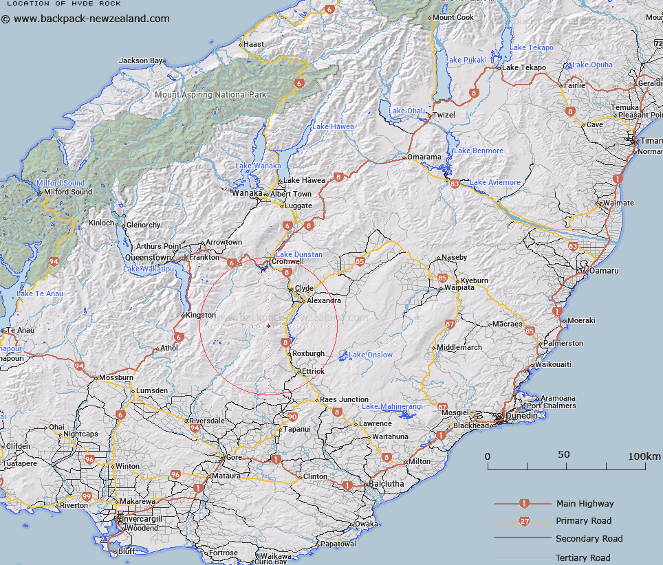
Map showing location of Hyde Rock


LINZ description: Station T
Latitude: -45.38807
Longitude: 169.19702
Northing: 4966900
Easting: 1302300
Land District: Otago
Feat Type: Trig Station


Scroll down to see a more detailed road map and below that a topographical map showing the location of Hyde Rock. The road map has been supplied by openstreetmap and the topographical map of Hyde Rock has been supplied by Land Information New Zealand (LINZ).

Yes you can use the top static map for you school/university project or personal website with a link back. Contact me for any commercial use.

Hyde Rock Map New Zealand


New Zealand places in our database
[ A ] [ B ] [ C ] [ D ] [ E ] [ F ] [ G ] [ H ] [ I ] [ J ] [ K ] [ L ] [ M ] [ N ] [ O ] [ P ] [ Q ] [ R ] [ S ] [ T ] [ U ] [ V ] [ W ] [ X ] [ Y ] [ Z ]


Closest 20 Trig Stations to Hyde Rock

Hyde Rock ( 0km )   Waiparu ( 54.34km )   Kelvin Peak ( 81.9km )   Jeffrey ( 99.56km )   North Taieri ( 102.25km )   Obi ( 102.76km )   Gowan Hill ( 105.68km )   Forest Hill ( 106.53km )   Waihemo ( 107.24km )   Kohurau ( 109.74km )   Mokoreta ( 115.58km )   Waikouaiti ( 116.37km )   Glenomaru ( 117.04km )   Mataura ( 119.88km )   Kauroo Hill ( 122.86km )   Kauru Hill ( 122.86km )   McArthny ( 125.7km )   Moeraki ( 128.66km )   Toetoes ( 130.69km )   Fortrose ( 138.44km )   Tor ( 148.89km )   Yellow Hill ( 152km )   Pentland Hill ( 152km )   The Rock ( 154.63km )   Te Huruhuru ( 164.11km )   Chastleton ( 195.78km )   Rangitata ( 229.91km )   Coldstream ( 229.91km )   Rabbit Hill ( 245.89km )   Round Top ( 290.38km )   Tara ( 306.93km )   Koiterangi ( 312.61km )   Kowhitirangi ( 312.61km )   Tihiokahukura ( 342.3km )   Harris ( 347.99km )   Weka ( 384.52km )   Pahau ( 406.73km )   Mount Saul ( 418.12km )   Flintoff ( 420.24km )   Flintoft ( 420.24km )