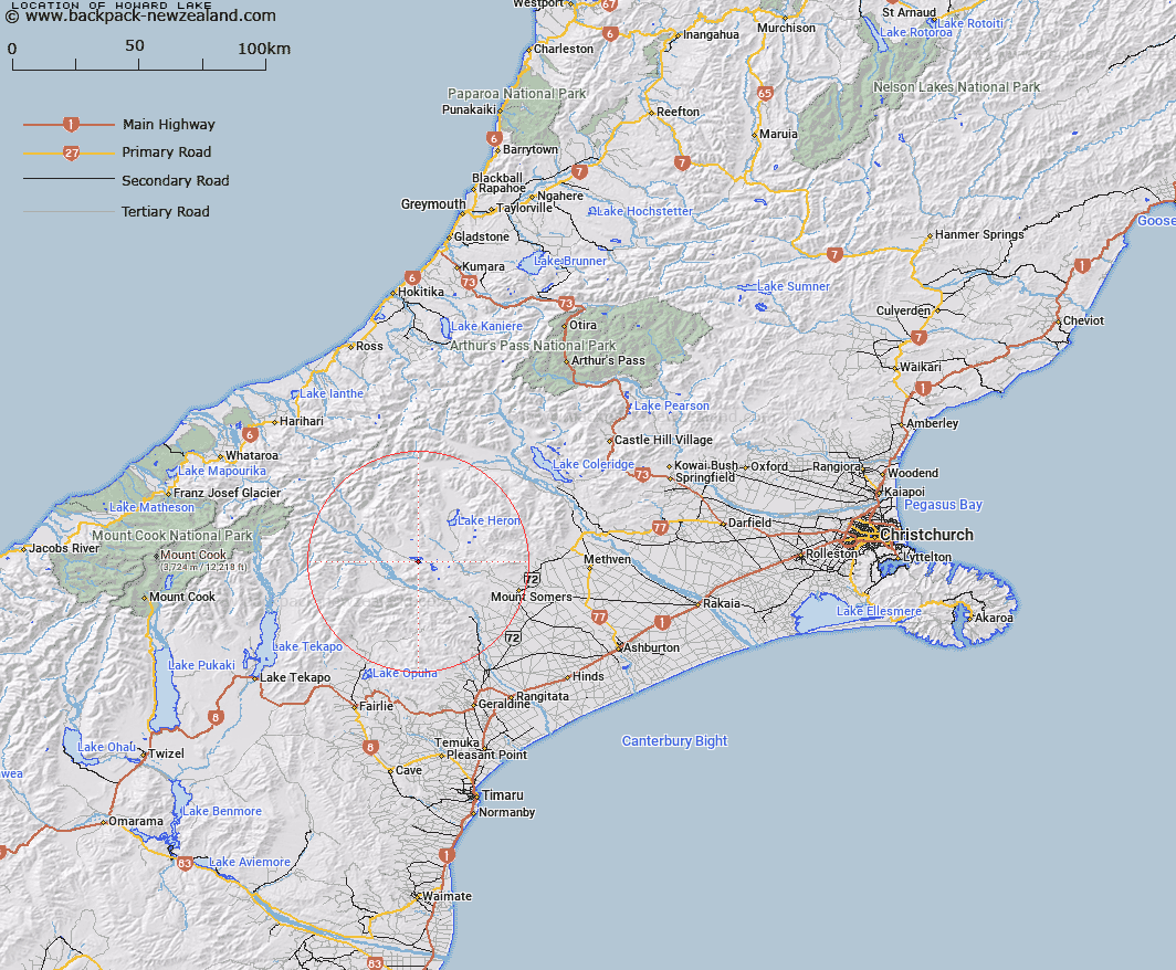
Map showing location of Howard Lake


LINZ description: Lake situated 1km South of Lake Clearwater and 4km North of Mount Harper. Tripp Survey District.
Latitude: -43.614508
Longitude: 171.053153
Northing: 5169100
Easting: 1442904.7
Land District: Canterbury
Feat Type: Lake


Scroll down to see a more detailed road map and below that a topographical map showing the location of Howard Lake. The road map has been supplied by openstreetmap and the topographical map of Howard Lake has been supplied by Land Information New Zealand (LINZ).

Yes you can use the top static map for you school/university project or personal website with a link back. Contact me for any commercial use.

Howard Lake Map New Zealand


New Zealand places in our database
[ A ] [ B ] [ C ] [ D ] [ E ] [ F ] [ G ] [ H ] [ I ] [ J ] [ K ] [ L ] [ M ] [ N ] [ O ] [ P ] [ Q ] [ R ] [ S ] [ T ] [ U ] [ V ] [ W ] [ X ] [ Y ] [ Z ]


Closest 20 Lakes to Howard Lake

Lake Howard ( 0.17km )   Lake Camp ( 0.17km )   Tripp Lake ( 1.39km )   Lake Clearwater ( 1.39km )   Lambies Lagoon ( 2.25km )   Lake Roundabout ( 3.17km )   Lake Emma ( 4.91km )   Lake Acland ( 4.91km )   Lake Donne ( 5.08km )   Spider Lakes ( 5.14km )   Mystery Lake ( 8.38km )   Lake Denny ( 8.53km )   Lake Trinity ( 8.57km )   Maori Lakes ( 10.92km )   Lake Emily ( 15.91km )   Lake Heron ( 17.55km )   Manuka Lake ( 18.02km )   Seagull Lake ( 19.42km )   Quagmire Tarn ( 32.97km )   Windy Tarn ( 34.56km )   Lake Opuha ( 44.01km )   Abel Lake ( 45.36km )   Lake Coleridge ( 50.87km )   Phantom Lagoon ( 51.22km )   Rapuwai Lagoon ( 51.25km )   Ice Lake ( 51.52km )   Reid Lake ( 52.76km )   Lake Tekapo ( 52.99km )   Lake Georgina ( 53.14km )   Balance Lake ( 54.83km )   Ivory Lake ( 54.83km )   Lake Barrowman ( 54.87km )   Red Lakes ( 55.37km )   Lake Henrietta ( 56.02km )   Lake Selfe ( 56.09km )   Lake Evelyn ( 56.14km )   Tui Tarn ( 56.21km )   Stony Tarn ( 56.67km )   Lake Murray ( 56.91km )   Hartley Tarn ( 57.53km )