Map showing location of Hingaia
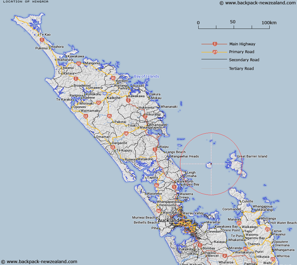
LINZ description: Locality (not populated) at Pohutukawa Flat, to the north east on Hauturu/Little Barrier Island.
Latitude: -36.182843
Longitude: 175.109569
Northing: 5993709
Easting: 1789703.7
Land District: North Auckland
Feat Type: Locality
Latitude: -36.182843
Longitude: 175.109569
Northing: 5993709
Easting: 1789703.7
Land District: North Auckland
Feat Type: Locality

Scroll down to see a more detailed road map and below that a topographical map showing the location of Hingaia. The road map has been supplied by openstreetmap and the topographical map of Hingaia has been supplied by Land Information New Zealand (LINZ).
Yes you can use the top static map for you school/university project or personal website with a link back. Contact me for any commercial use.
[ A ] [ B ] [ C ] [ D ] [ E ] [ F ] [ G ] [ H ] [ I ] [ J ] [ K ] [ L ] [ M ] [ N ] [ O ] [ P ] [ Q ] [ R ] [ S ] [ T ] [ U ] [ V ] [ W ] [ X ] [ Y ] [ Z ]