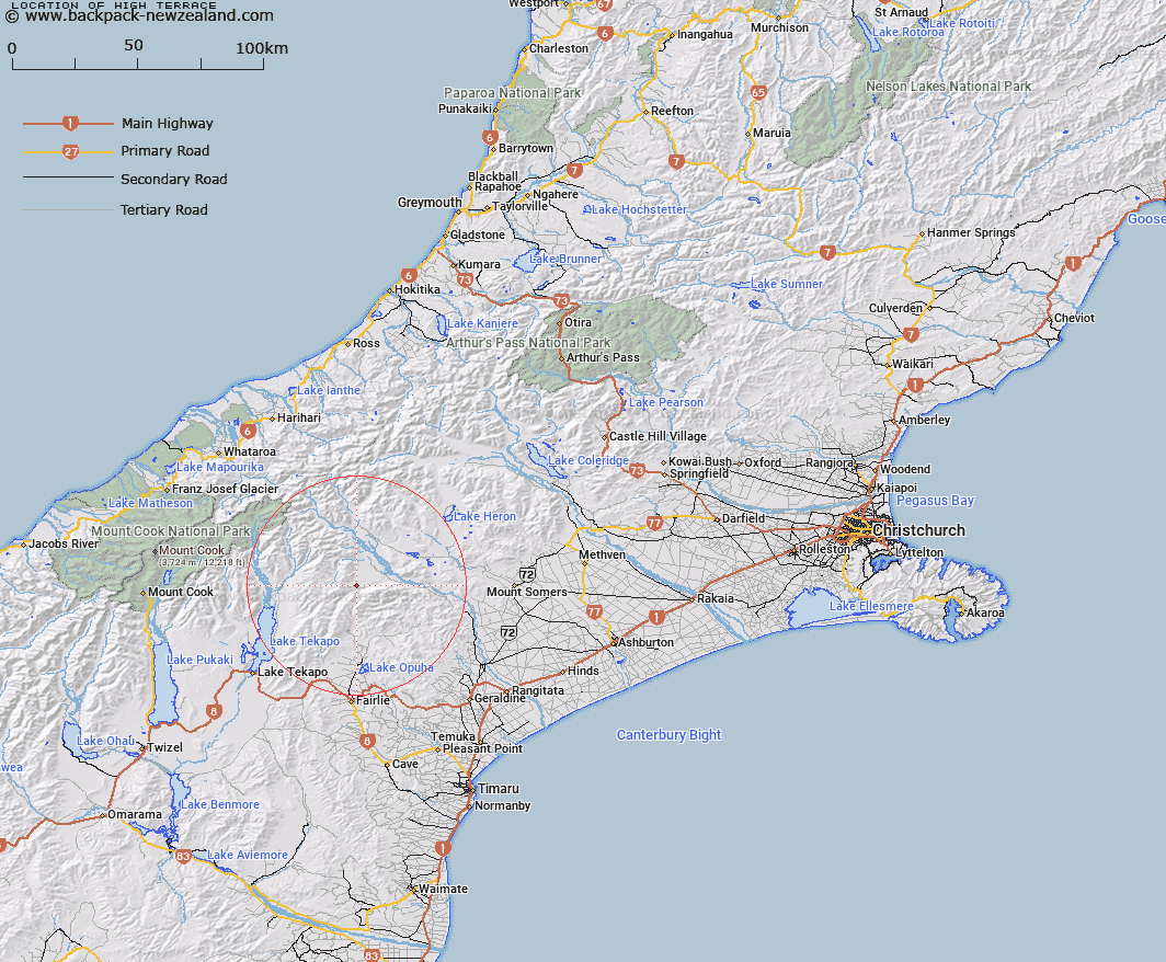
Map showing location of High Terrace


LINZ description: Terrace formation above and West of Butler Downs, at the lower end of the spur to the East of Moonlight Creek. Block III Fox Survey District.
Latitude: -43.708316
Longitude: 170.847858
Northing: 5158272.3
Easting: 1426609
Land District: Canterbury
Feat Type: Hill


Scroll down to see a more detailed road map and below that a topographical map showing the location of High Terrace. The road map has been supplied by openstreetmap and the topographical map of High Terrace has been supplied by Land Information New Zealand (LINZ).

Yes you can use the top static map for you school/university project or personal website with a link back. Contact me for any commercial use.

High Terrace Map New Zealand


New Zealand places in our database
[ A ] [ B ] [ C ] [ D ] [ E ] [ F ] [ G ] [ H ] [ I ] [ J ] [ K ] [ L ] [ M ] [ N ] [ O ] [ P ] [ Q ] [ R ] [ S ] [ T ] [ U ] [ V ] [ W ] [ X ] [ Y ] [ Z ]


Closest 20 Hills to High Terrace

Mount Sinclair ( 7.76km )   Neutral Hill ( 8.92km )   Ben McLeod ( 9.03km )   Mount Toby ( 11.66km )   Mount Brabazon ( 12.03km )   Rawtor ( 12.11km )   Mount Hope ( 12.53km )   Braun-Elwert Peak ( 12.76km )   Mount Pattisson ( 12.98km )   Captains Peak ( 13.08km )   Beuzenberg Peak ( 13.23km )   Mount Caton ( 13.69km )   Split Peaks ( 14.51km )   Mount Musgrave ( 14.7km )   Fox Peak ( 15.39km )   Black Mountain ( 15.51km )   The Thumbs ( 16.08km )   Paris ( 16.16km )   Harpers Knob ( 16.54km )   Electra Peak ( 16.56km )   Mount Harper ( 17.33km )   Mount Harper/Mahaanui ( 17.33km )   Tantalus ( 17.73km )   Mount Gerald ( 17.75km )   Priam ( 17.82km )   Mount Sunday ( 18.16km )   Myrmidon ( 18.2km )   Achilles Peak ( 18.36km )   High Peak ( 18.41km )   Low Peak ( 18.51km )   Mount Misery ( 18.67km )   Round Hill ( 19.33km )   Cairn Hill ( 19.43km )   Alma ( 19.61km )   Mount Ross ( 20.33km )   Exeter Peak ( 20.93km )   Ajax Peak ( 21.23km )   The Pyramid ( 22.03km )   Mount Chevalier ( 22.13km )   Observation Hill ( 22.35km )