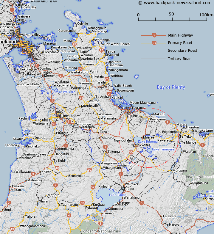
Map showing location of Hauparu Bay


LINZ description: Confirmation of Hauparu Bay. Section 71 and Schedule 4 Te Arawa Lakes Settlement Act 2006.
Latitude: -38.047554
Longitude: 176.41526
Northing: 5783400
Easting: 1899700
Land District: South Auckland
Feat Type: Bay


Scroll down to see a more detailed road map and below that a topographical map showing the location of Hauparu Bay. The road map has been supplied by openstreetmap and the topographical map of Hauparu Bay has been supplied by Land Information New Zealand (LINZ).

Yes you can use the top static map for you school/university project or personal website with a link back. Contact me for any commercial use.

Hauparu Bay Map New Zealand


New Zealand places in our database
[ A ] [ B ] [ C ] [ D ] [ E ] [ F ] [ G ] [ H ] [ I ] [ J ] [ K ] [ L ] [ M ] [ N ] [ O ] [ P ] [ Q ] [ R ] [ S ] [ T ] [ U ] [ V ] [ W ] [ X ] [ Y ] [ Z ]


Closest 20 Bays to Hauparu Bay

Tapuaekura Bay ( 0.72km )   Te Ruato Bay ( 1.72km )   ?kahutoroa Bay ( 1.77km )   Tauarau Bay ( 2.06km )   Punawhakareia Bay ( 2.4km )   ?tairoa Beach ( 2.69km )   Puketapu Bay ( 2.72km )   Manup?rua Bay ( 2.91km )   Ngongoahi Bay ( 3.14km )   Ng?puka Bay ( 3.25km )   Paripari te tai Bay ( 3.54km )   Wharetata Bay ( 3.57km )   Tokerau Bay ( 3.64km )   Te ?rero Bay ( 4.3km )   Te Arero Bay ( 4.3km )   Te Ti Bay ( 4.48km )   Te T? Bay ( 4.48km )   Te K?piha Bay ( 4.6km )   Onepoto Bay ( 4.72km )   T?moana Bay ( 4.93km )   ?taramarae Bay ( 5.15km )   Te Karaka Bay ( 5.28km )   Pounamunui Bay ( 5.34km )   T?whakarere Bay ( 5.69km )   Te Weta Bay ( 5.88km )   Tapuaeharuru Bay ( 6.01km )   Wairau Bay ( 6.11km )   Korokitewao Bay ( 6.24km )   Tauranganui Bay ( 6.26km )   Okere Inlet ( 6.32km )   ?kere Inlet ( 6.32km )   Whangamarino Bay ( 6.46km )   Tahunapo Bay ( 6.47km )   Tahunap? Bay ( 6.47km )   Log Pool ( 6.54km )   Ng?hau? Bay ( 6.77km )   Waipuna Bay ( 6.95km )   Okawa Bay ( 7km )   ?kawa Bay ( 7km )   Kaiwaka Bay ( 7.81km )