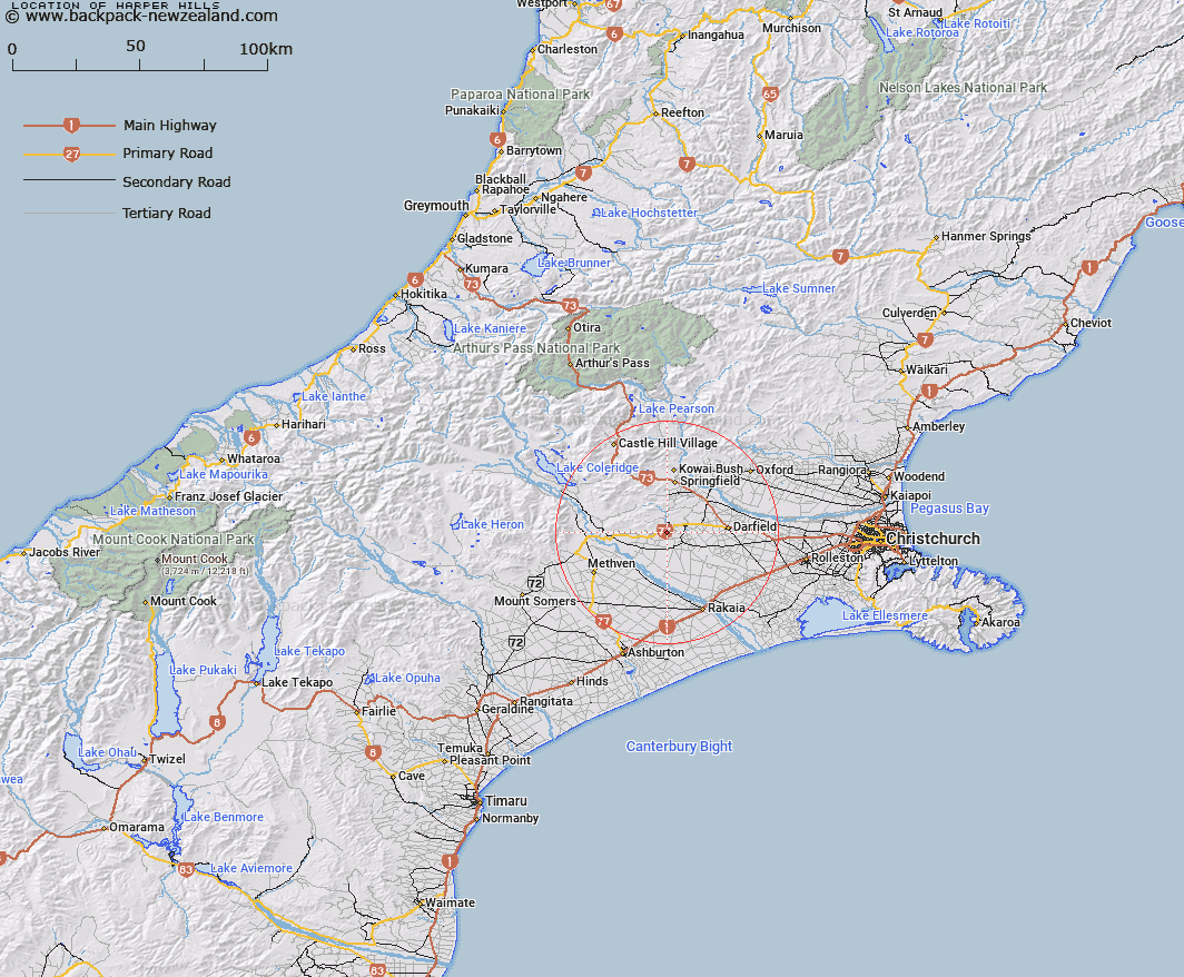
Map showing location of Harper Hills
LINZ description: Hills running generally north-east from the Glenroy Saddle, east of the Hororata River, to the Selwyn River, south-west of Coalgate. Hororata Survey District.
Latitude: -43.50322
Longitude: 171.900831
Northing: 5182714.3
Easting: 1511142.9
Land District: Canterbury
Feat Type: Hill
Latitude: -43.50322
Longitude: 171.900831
Northing: 5182714.3
Easting: 1511142.9
Land District: Canterbury
Feat Type: Hill

Scroll down to see a more detailed road map and below that a topographical map showing the location of Harper Hills. The road map has been supplied by openstreetmap and the topographical map of Harper Hills has been supplied by Land Information New Zealand (LINZ).
Yes you can use the top static map for you school/university project or personal website with a link back. Contact me for any commercial use.
[ A ] [ B ] [ C ] [ D ] [ E ] [ F ] [ G ] [ H ] [ I ] [ J ] [ K ] [ L ] [ M ] [ N ] [ O ] [ P ] [ Q ] [ R ] [ S ] [ T ] [ U ] [ V ] [ W ] [ X ] [ Y ] [ Z ]