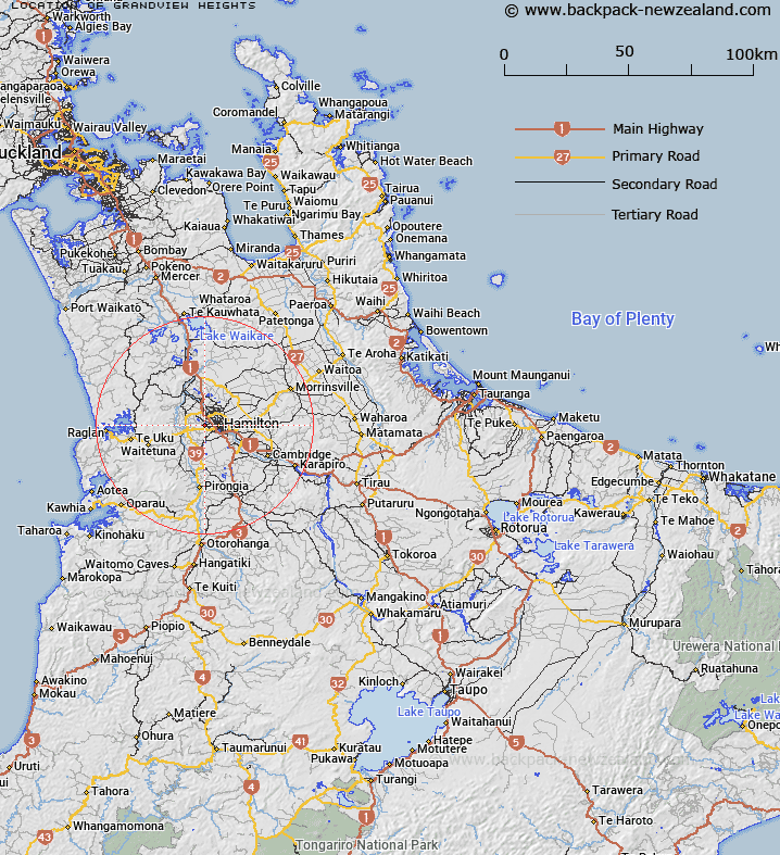
Map showing location of Grandview Heights
LINZ description: A suburb of Hamilton City.
Feature shown on: NZTopo50-BD33 955161
Latitude: -37.781845
Longitude: 175.220889
Northing: 5816066.4
Easting: 1795576.7
Land District: South Auckland
Feat Type: Suburb
Latitude: -37.781845
Longitude: 175.220889
Northing: 5816066.4
Easting: 1795576.7
Land District: South Auckland
Feat Type: Suburb

Scroll down to see a more detailed road map and below that a topographical map showing the location of Grandview Heights. The road map has been supplied by openstreetmap and the topographical map of Grandview Heights has been supplied by Land Information New Zealand (LINZ).
Yes you can use the top static map for you school/university project or personal website with a link back. Contact me for any commercial use.
[ A ] [ B ] [ C ] [ D ] [ E ] [ F ] [ G ] [ H ] [ I ] [ J ] [ K ] [ L ] [ M ] [ N ] [ O ] [ P ] [ Q ] [ R ] [ S ] [ T ] [ U ] [ V ] [ W ] [ X ] [ Y ] [ Z ]