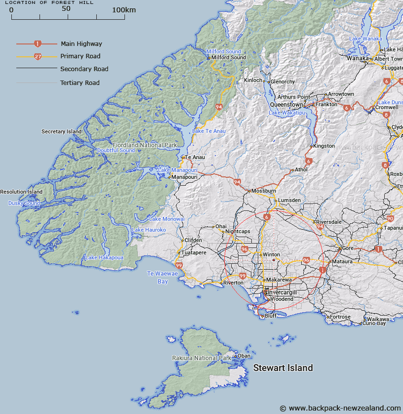
Map showing location of Forest Hill
LINZ description: Code 1032 trig located north approximately 2.4km of Forest Hill Reserve, 9km south east of Winton. Feature shown on Infomap 346-02 Te Wai Pounamu Edition 1 1995
Latitude: -46.181633
Longitude: 168.427289
Northing: 4875600
Easting: 1247100
Land District: Southland
Feat Type: Trig Station
Latitude: -46.181633
Longitude: 168.427289
Northing: 4875600
Easting: 1247100
Land District: Southland
Feat Type: Trig Station

Scroll down to see a more detailed road map and below that a topographical map showing the location of Forest Hill. The road map has been supplied by openstreetmap and the topographical map of Forest Hill has been supplied by Land Information New Zealand (LINZ).
Yes you can use the top static map for you school/university project or personal website with a link back. Contact me for any commercial use.
[ A ] [ B ] [ C ] [ D ] [ E ] [ F ] [ G ] [ H ] [ I ] [ J ] [ K ] [ L ] [ M ] [ N ] [ O ] [ P ] [ Q ] [ R ] [ S ] [ T ] [ U ] [ V ] [ W ] [ X ] [ Y ] [ Z ]