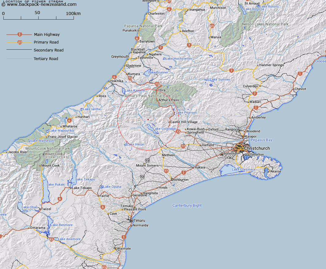
Map showing location of Fisher Stream
LINZ description: Right bank tributary of Gargarus Stream, a tributary of Glenthorne Stream, rising on the southern slopes of The Spurs at the southern end of the Birdwood Range, flowing southward and joining Gargarus Stream 500m South-east of Glenthorne Homestead. Block XVI Wilberforce Survey District.
Latitude: -43.17789
Longitude: 171.453193
Northing: 5218269.2
Easting: 1474285.6
Land District: Canterbury
Feat Type: Stream
Latitude: -43.17789
Longitude: 171.453193
Northing: 5218269.2
Easting: 1474285.6
Land District: Canterbury
Feat Type: Stream

Scroll down to see a more detailed road map and below that a topographical map showing the location of Fisher Stream. The road map has been supplied by openstreetmap and the topographical map of Fisher Stream has been supplied by Land Information New Zealand (LINZ).
Yes you can use the top static map for you school/university project or personal website with a link back. Contact me for any commercial use.
[ A ] [ B ] [ C ] [ D ] [ E ] [ F ] [ G ] [ H ] [ I ] [ J ] [ K ] [ L ] [ M ] [ N ] [ O ] [ P ] [ Q ] [ R ] [ S ] [ T ] [ U ] [ V ] [ W ] [ X ] [ Y ] [ Z ]