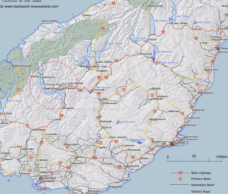
Map showing location of Fan Creek


LINZ description: Tributary of Moke Creek, joining it on the right bank, 3.2km upstream from Moke Lake. Mid-Wakatipu Survey District.
Latitude: -44.971906
Longitude: 168.568661
Northing: 5010610.7
Easting: 1250571.4
Land District: Otago
Feat Type: Stream


Scroll down to see a more detailed road map and below that a topographical map showing the location of Fan Creek. The road map has been supplied by openstreetmap and the topographical map of Fan Creek has been supplied by Land Information New Zealand (LINZ).

Yes you can use the top static map for you school/university project or personal website with a link back. Contact me for any commercial use.

Fan Creek Map New Zealand


New Zealand places in our database
[ A ] [ B ] [ C ] [ D ] [ E ] [ F ] [ G ] [ H ] [ I ] [ J ] [ K ] [ L ] [ M ] [ N ] [ O ] [ P ] [ Q ] [ R ] [ S ] [ T ] [ U ] [ V ] [ W ] [ X ] [ Y ] [ Z ]


Closest 20 Streams to Fan Creek

Gills Creek ( 2.03km )   Moke Creek ( 2.41km )   Moke Creek Right Hand Branch ( 2.47km )   Alpha Creek ( 3.39km )   Dead Horse Creek ( 3.54km )   McConnochie Creek ( 3.69km )   Moke Creek West Branch ( 4.37km )   Montgomerys Creek ( 5.08km )   Bushy Creek ( 5.44km )   Crush Creek ( 5.74km )   Butchers Creek ( 5.8km )   Luna Creek ( 6.75km )   Shady Creek ( 6.77km )   Reidys Creek ( 6.82km )   Simpson Creek or Twenty Five Mile Creek ( 6.88km )   Domestic Creek ( 7.27km )   Moonlight Creek ( 7.33km )   McChesney Creek ( 7.35km )   Five Mile Creek ( 7.41km )   One Mile Creek ( 7.42km )   Stewarts Creek ( 7.52km )   Two Mile Creek ( 8.24km )   Yankee Creek ( 8.37km )   Jones Creek ( 8.51km )   Seven Mile Creek ( 8.53km )   Eight Mile Creek or Close Burn ( 8.58km )   Kerrymans Creek ( 8.62km )   Devils Creek ( 8.69km )   Twenty Four Mile Creek ( 8.77km )   Twelve Mile Creek or Few Creek ( 8.89km )   Horn Creek or Bush Creek ( 9.25km )   Wire Creek ( 9.46km )   Geordies Creek ( 9.49km )   Criterion Creek ( 9.62km )   Dooleys Creek ( 9.78km )   Moonlight Creek Left Branch ( 10.21km )   Lewis Creek ( 10.44km )   Dan O'Connell Creek ( 11.37km )   Quins Creek or Blue Jacket Creek ( 11.38km )   Murphys Creek South ( 11.57km )