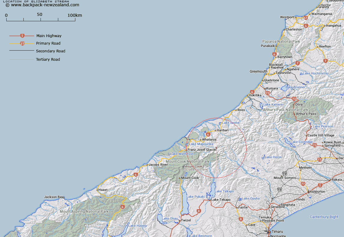
Map showing location of Elizabeth Stream
LINZ description: Right bank tributary of upper Perth River rising 1.3km South-west of Great Unknown Peak, flowing generally southward, and joining Perth River 3.8km upstream of Barlow River. Blocks V and VI Tyndall Survey District.
Latitude: -43.360057
Longitude: 170.566027
Northing: 5196323
Easting: 1402769.7
Land District: Westland
Feat Type: Stream
Latitude: -43.360057
Longitude: 170.566027
Northing: 5196323
Easting: 1402769.7
Land District: Westland
Feat Type: Stream

Scroll down to see a more detailed road map and below that a topographical map showing the location of Elizabeth Stream. The road map has been supplied by openstreetmap and the topographical map of Elizabeth Stream has been supplied by Land Information New Zealand (LINZ).
Yes you can use the top static map for you school/university project or personal website with a link back. Contact me for any commercial use.
[ A ] [ B ] [ C ] [ D ] [ E ] [ F ] [ G ] [ H ] [ I ] [ J ] [ K ] [ L ] [ M ] [ N ] [ O ] [ P ] [ Q ] [ R ] [ S ] [ T ] [ U ] [ V ] [ W ] [ X ] [ Y ] [ Z ]