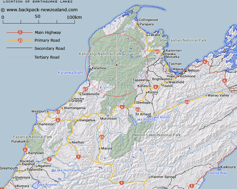
Map showing location of Earthquake Lakes


LINZ description: A series of three lakes in the Karamea River near its junction with Beautiful River. Leslie Survey District.
Latitude: -41.203
Longitude: 172.428728
Northing: 5438550.3
Easting: 1552102.7
Land District: Nelson
Feat Type: Lake


Scroll down to see a more detailed road map and below that a topographical map showing the location of Earthquake Lakes. The road map has been supplied by openstreetmap and the topographical map of Earthquake Lakes has been supplied by Land Information New Zealand (LINZ).

Yes you can use the top static map for you school/university project or personal website with a link back. Contact me for any commercial use.

Earthquake Lakes Map New Zealand


New Zealand places in our database
[ A ] [ B ] [ C ] [ D ] [ E ] [ F ] [ G ] [ H ] [ I ] [ J ] [ K ] [ L ] [ M ] [ N ] [ O ] [ P ] [ Q ] [ R ] [ S ] [ T ] [ U ] [ V ] [ W ] [ X ] [ Y ] [ Z ]


Closest 20 Lakes to Earthquake Lakes

Lake Jewell ( 6.83km )   Lake Barfoot ( 8.43km )   Lake Rotopai ( 9.38km )   Rotopai ( 9.38km )   Lake Bellbird ( 15km )   Lake Henderson ( 15.79km )   Lake Peel ( 15.87km )   Camp Lake ( 16.37km )   Round Lake ( 17.69km )   Lake Cobb ( 17.84km )   Lake Aorere ( 18.09km )   Iron Lake ( 19.06km )   Ruby Lake ( 19.17km )   Island Lake ( 19.27km )   Moonstone Lake ( 19.28km )   Little Sylvester Lake ( 19.31km )   Lake Lillie ( 19.48km )   Lake Elmer ( 19.67km )   Lake Sylvester ( 19.84km )   Diamond Lake ( 19.97km )   Mirror Tarn ( 20.18km )   Diamond Lakes ( 21km )   Cobb Reservoir ( 21.07km )   Kinzett Tarn ( 21.08km )   Lake Lockett ( 21.45km )   Black Lakes ( 21.69km )   Luna Lake ( 23.29km )   Saddle Lakes ( 23.87km )   Shag Tarn ( 25.79km )   Lake Stanley ( 26.65km )   Swampy Tarn ( 27.08km )   Lake William ( 29.29km )   Lake Sparrow ( 29.7km )   Lake Lindsay ( 29.82km )   Adelaide Tarn ( 30.61km )   Lake Fiddle ( 31.14km )   Lake Phyllis ( 32.99km )   Lake Marina ( 33.9km )   Lake Jeanette ( 35.39km )   Darby Pond ( 35.6km )