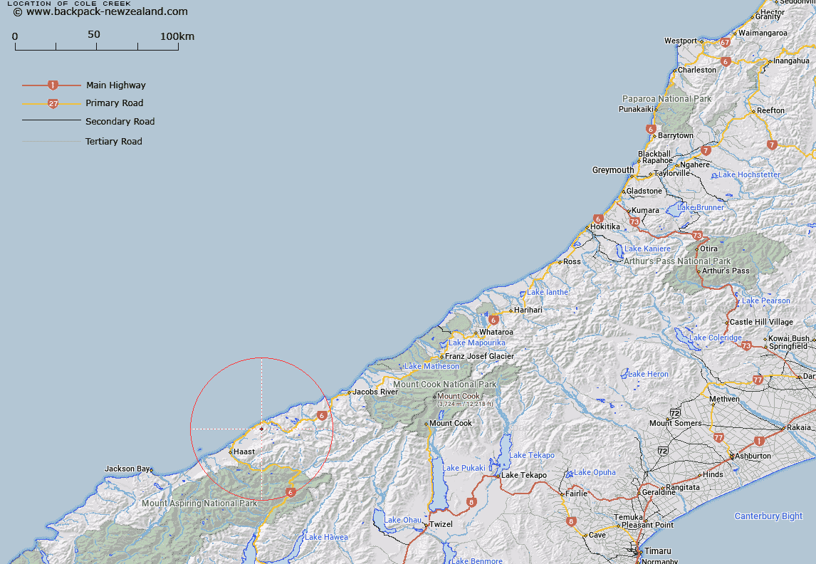
Map showing location of Cole Creek


LINZ description: Stream rising North of Bald Hill, and flowing into the Tasman Sea 1.3km South of Seal Point. Arnott Survey District.
Latitude: -43.760923
Longitude: 169.211084
Northing: 5147700
Easting: 1295000
Land District: Westland
Feat Type: Stream


Scroll down to see a more detailed road map and below that a topographical map showing the location of Cole Creek. The road map has been supplied by openstreetmap and the topographical map of Cole Creek has been supplied by Land Information New Zealand (LINZ).

Yes you can use the top static map for you school/university project or personal website with a link back. Contact me for any commercial use.

Cole Creek Map New Zealand


New Zealand places in our database
[ A ] [ B ] [ C ] [ D ] [ E ] [ F ] [ G ] [ H ] [ I ] [ J ] [ K ] [ L ] [ M ] [ N ] [ O ] [ P ] [ Q ] [ R ] [ S ] [ T ] [ U ] [ V ] [ W ] [ X ] [ Y ] [ Z ]


Closest 20 Streams to Cole Creek

Fox Creek ( 1.14km )   Coal Creek ( 1.74km )   Monro Mistake ( 2.56km )   Mistake Creek ( 2.6km )   Cement Creek ( 2.9km )   Arnott Water ( 2.93km )   Matthies Creek ( 2.98km )   Mathias Creek ( 2.98km )   Brecia Creek ( 3.11km )   Breccia Creek ( 3.11km )   Grant Creek ( 3.11km )   Bishops Folly ( 3.13km )   Wells Creek ( 3.34km )   Bellard Creek ( 3.44km )   Seal Creek ( 3.45km )   Mosquito Creek ( 3.45km )   Emily Creek ( 3.51km )   Dragon Creek ( 3.51km )   Grave Creek ( 3.71km )   Penguin Creek ( 3.89km )   Rae Creek ( 3.9km )   Murphy Creek ( 3.94km )   Farrell Creek ( 3.96km )   Farrel Creek ( 3.96km )   Ship Creek ( 3.99km )   Venture Creek ( 4.09km )   Epitaph Creek ( 4.24km )   Access Creek ( 4.37km )   Adam Creek ( 4.47km )   Harvey Creek ( 4.56km )   Pierce Creek ( 4.57km )   Arnott Creek ( 4.57km )   Rocky River ( 4.86km )   Waita River ( 5.36km )   Deep Creek ( 5.37km )   Herring Stream ( 5.74km )   Granite Creek ( 6.45km )   Monro Creek ( 6.95km )   Robinson Creek ( 7.08km )   Sundown Creek ( 7.26km )