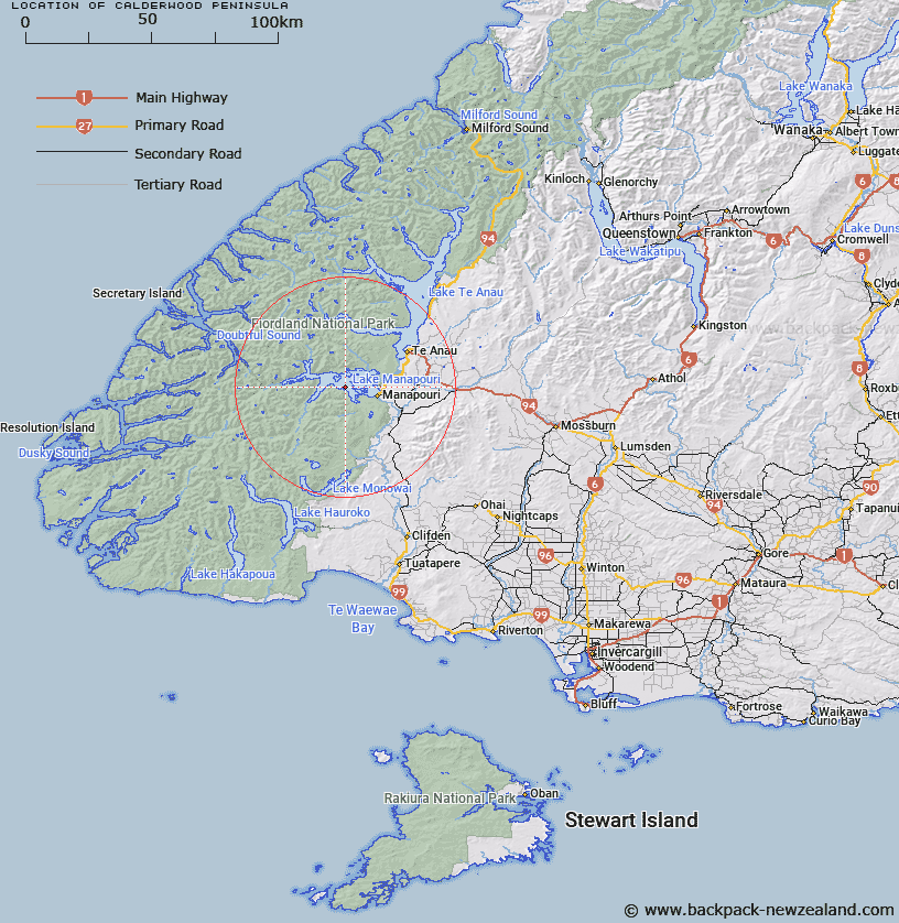
Map showing location of Calderwood Peninsula


LINZ description: Feature shown on: NZMS260 C43 Edition 1 1997
Latitude: -45.535306
Longitude: 167.503722
Northing: 4942869.2
Easting: 1170874
Land District: Southland
Feat Type: Point


Scroll down to see a more detailed road map and below that a topographical map showing the location of Calderwood Peninsula. The road map has been supplied by openstreetmap and the topographical map of Calderwood Peninsula has been supplied by Land Information New Zealand (LINZ).

Yes you can use the top static map for you school/university project or personal website with a link back. Contact me for any commercial use.
Calderwood Peninsula Map New Zealand


New Zealand places in our database
[ A ] [ B ] [ C ] [ D ] [ E ] [ F ] [ G ] [ H ] [ I ] [ J ] [ K ] [ L ] [ M ] [ N ] [ O ] [ P ] [ Q ] [ R ] [ S ] [ T ] [ U ] [ V ] [ W ] [ X ] [ Y ] [ Z ]


Closest 20 Points to Calderwood Peninsula

Stony Point ( 5.53km )   Richters Rock ( 6.66km )   Post Office Point ( 7.94km )   Bluegum Point ( 20.32km )   Moa Point ( 22.44km )   Mark Point ( 27.1km )   Brasell Point ( 28.18km )   Garden Point ( 28.42km )   Archer Point ( 28.93km )   Pridham Point ( 30.5km )   Deadmans Point ( 30.68km )   Duncalf Point ( 32.26km )   Davidson Head ( 32.29km )   Brig Point ( 32.54km )   Point Miller ( 33.05km )   Rough Point ( 36.05km )   Shag Point ( 36.52km )   Point Jones ( 36.84km )   Cavellia Head ( 38.04km )   Aurora Point ( 38.26km )   Shelter Point ( 38.74km )   Point Campbell ( 40km )   Tangney Bend ( 40.12km )   Gardener Head ( 40.24km )   Turn Point ( 40.72km )   Glynn Point ( 41.03km )   Kellard Point ( 41.57km )   Sharp Head ( 42.09km )   Ranson Head ( 42.38km )   Master Head ( 42.92km )   Rocky Point ( 43.62km )   Evans Head ( 44.73km )   Woodhead Point ( 45.8km )   Espinosa Point ( 45.8km )   Pack Point ( 45.91km )   Richards Point ( 46.49km )   Common Head ( 47.22km )   Chatham Point ( 48.34km )   Joseph Point ( 48.53km )   Quintano Point ( 48.6km )