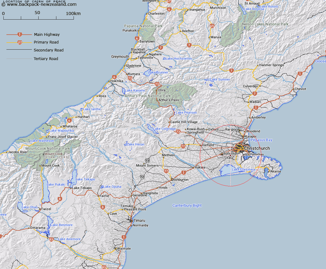
Map showing location of Cairn Of Peace


LINZ description: 526 square metres, more or less, being Reserve 5235, situated in Block I, Halswell Survey District, 15km south-west of Christchurch.
Latitude: -43.610833
Longitude: 172.486667
Northing: 5171221.6
Easting: 1558575.9
Land District: Canterbury
Feat Type: Historic Reserve


Scroll down to see a more detailed road map and below that a topographical map showing the location of Cairn Of Peace. The road map has been supplied by openstreetmap and the topographical map of Cairn Of Peace has been supplied by Land Information New Zealand (LINZ).

Yes you can use the top static map for you school/university project or personal website with a link back. Contact me for any commercial use.

Cairn Of Peace Map New Zealand


New Zealand places in our database
[ A ] [ B ] [ C ] [ D ] [ E ] [ F ] [ G ] [ H ] [ I ] [ J ] [ K ] [ L ] [ M ] [ N ] [ O ] [ P ] [ Q ] [ R ] [ S ] [ T ] [ U ] [ V ] [ W ] [ X ] [ Y ] [ Z ]


Closest 20 Historic Reserves to Cairn Of Peace

Coronation Hill Historic Reserve ( 12.75km )   Transit Of Venus Historic Reserve ( 14.83km )   Kapuatohe Historic Reserve ( 20.62km )   Ripapa Island Historic Reserve ( 21.56km )   Cotons Cob Cottage Historic Reserve ( 43.1km )   Britomart Memorial Historic Reserve ( 43.57km )   Te Puke-ki-wiataha ( 50.56km )   Weka Pass Historic Reserve ( 72.07km )   Kakahu Lime Kiln Historic Reserve ( 127km )   Raincliff Historic Reserve ( 134.5km )   Jacks Mill School Kotuku Historic Reserve ( 144.24km )   ? Tamakura Historic Reserve ( 150.16km )   Monavale Historic Reserve ( 150.48km )   Seddon House Historic Reserve ( 151.21km )   Hatters Terrace Historic Reserve ( 155.33km )   Jeanie Collier Grave Site Reserve ( 156.57km )   Ross Goldsfields Historic Reserve ( 156.7km )   Ross Historic Cemetery Reserve ( 156.87km )   Mahinapua Creek Rail Bridge Historic Reserve ( 158.5km )   Nga Niho Pa Historic Reserve ( 164.96km )   Blacks Point Historic Reserve ( 171.83km )   Reefton School Of Mines Historic Reserve ( 173.36km )   Reefton Historic Courthouse Reserve ( 173.43km )   Donovans Store Historic Reserve ( 192.4km )   Okarito School House Historic Reserve ( 192.55km )   Six Mile Historic Reserve ( 192.76km )   Te Ana o Matuku Historic Reserve ( 197.41km )   Lyell Historic Reserve ( 204.65km )   Denniston Historic Reserve ( 216.05km )   Kotahitanga Church Historic Reserve ( 234.26km )   Katiki Point Historic Reserve ( 236.31km )   Dead Horse Pinch Historic Reserve ( 242.53km )   Belgrove Windmill Historic Reserve ( 243.38km )   Onewhenua Historic Reserve ( 246.48km )   Sir John McKenzie Memorial Historic Reserve ( 251.06km )   Golden Point Historic Reserve ( 253.32km )   Murphys Flat Historic Reserve ( 254.67km )   St Bathans Hall Historic Reserve ( 255.08km )   St Bathans Post Office Historic Reserve ( 255.11km )   Town of Nenthorn Historic Reserve ( 266.65km )